What is recorded here
Church (Site of) is a church in Kilnagrange, County Waterford, Ireland. It occupies the crest of an east-facing slope on the west side of a north-south valley, with a north-south stream about 170 metres to the east. A circular grass-covered area about 66 metres across is defined by a slight north-south scarp, and local tradition regards the place as an early church site.
Situated at the crest of the E-facing slope of a low hill and on the W side of a N-S valley, with the N-S stream c. 170m to the E. Circular grass-covered area (diam. c. 66m) defined by a slight scarp N-S. It is traditionally regarded as an early church site (Power 1952, 136).
The above description is derived from the published 'Archaeological Inventory of County Waterford' (Dublin: Stationery Office, 1999). In certain instances the entries have been revised and updated in the light of recent research.
Date of upload/revision: 23 December 2008
The monument record does not grant public access. Check the route and ask the landowner before entering private land.
- What survives
- Recorded monument
Places near here
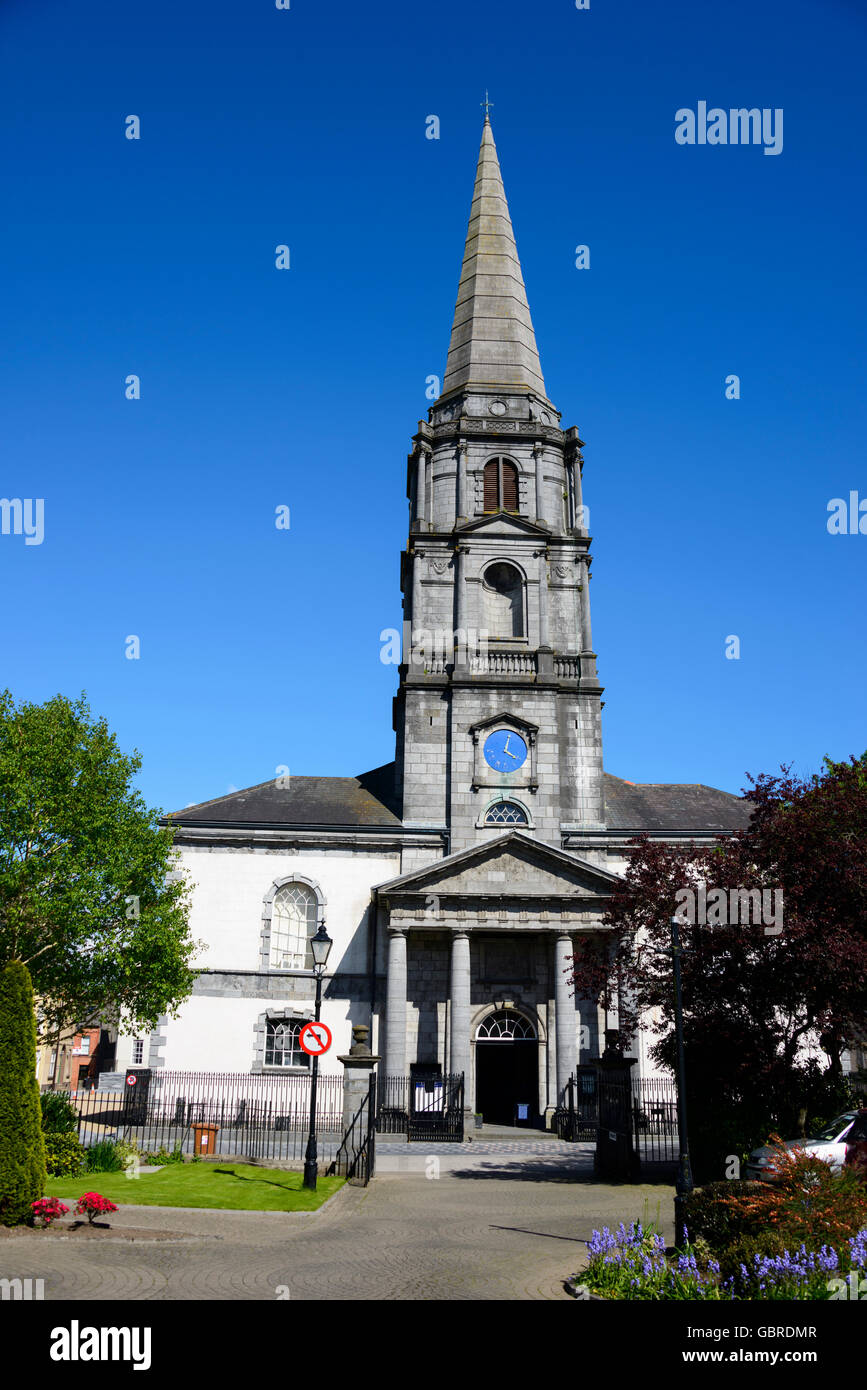 Church (Site of)Ecclesiastical enclosure · 13 yd
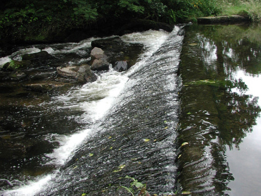 weirweir · 745 yd
 bridgebridge · 808 yd
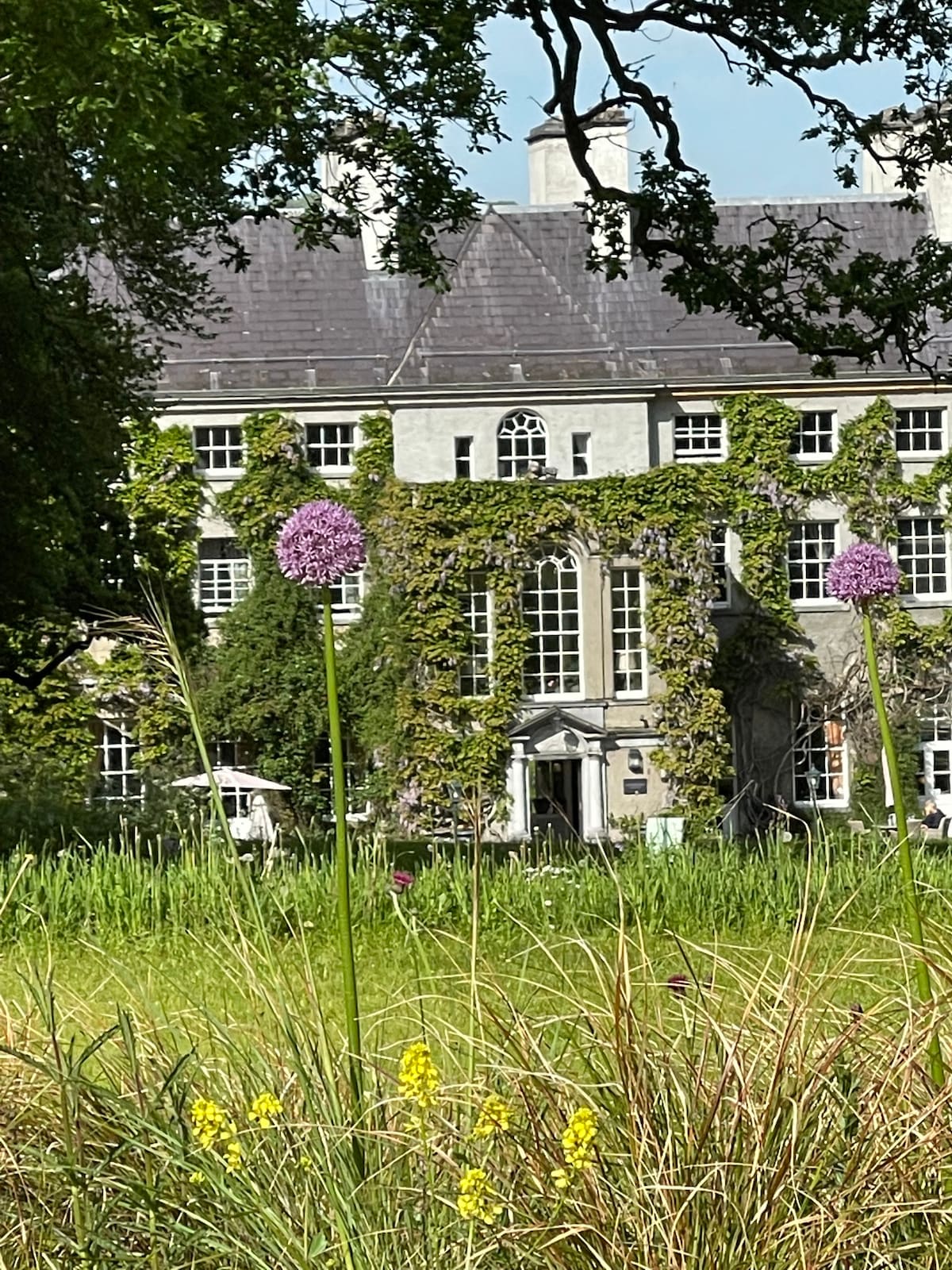 Fulacht fia in KilnagrangeFulacht fia · 878 yd
 Site of Cas.Castle, unclassified · 906 yd
 8 Arch GalleryGallery · 1077 yd
 Castle (in ruins)Castle, unclassified · 1.5 mi
 Croughaun HillMountain / peak · 2.6 mi
 Kilclooney WoodForest · 3.7 mi
 Crough WoodWood · 3.9 mi
 Magic Road (finish)Heritage attraction · 4.5 mi
 LackaduffMountain / peak · 5.0 mi