What is recorded here
Fairy fort / ringfort in Kilmaglish is a fairy fort or ringfort in Kilmaglish, County Westmeath, Ireland. The site sits on a south-facing slope of rising ground that overlooks the River Gaine, which lies one hundred and sixty metres to the southwest. A ringfort is located two hundred and forty metres to the south-southeast. The 1837 edition of the Ordnance Survey six-inch map depicts the site as a circular shaped earthwork, a feature that is not depicted on subsequent editions of the Ordnance Survey maps, though the outline of the monument is visible on a Digital Globe aerial photograph taken in November 2011.
Situated on S facing slope of rising ground overlooking River Gaine 160m to SW. Ringfort (WM012-118----) 240m to SSE. Depicted on 1837 ed. OS 6-inch map as a circular shaped earthwork that is not depicted on subsequent editions of the OS maps. Outline of monument visible on Digital Globe aerial photograph taken November 2011.
Compiled by: Caimin O'Brien
Date of upload: 5 March 2018
The monument record does not grant public access. Check the route and ask the landowner before entering private land.
- What survives
- Recorded monument
Places near here
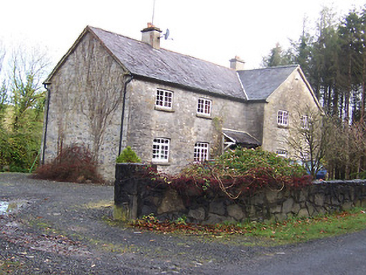 Woodview Househouse · 387 yd
 St. Patricks WellHoly well · 438 yd
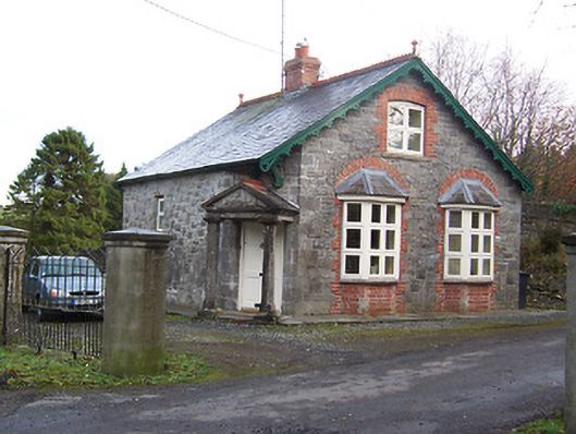 Ballynagallgate lodge · 657 yd
 Partially hachuredFairy fort / earthen ringfort · 702 yd
 Knockdrin CastleCastle · 1.2 mi
 CastleCastle, motte · 1.2 mi
 Scragh Bog Nature ReserveNature reserve · 1.2 mi
 Long PlantingForest · 1.2 mi
 Church IslandIsland · 2.0 mi
 Saint Brigid's WellSpring · 2.7 mi
 Srudarra IslandIslet · 2.9 mi
 United Nations War MemorialMemorial · 3.4 mi