
What is recorded here
Kilmaculla holds an oval ecclesiastical enclosure on a gentle south-facing slope in County Cork, where earthen banks and a faint fosse still mark a churchyard left untilled among arable fields. Power identified it with Cill Mochuilli, a subsidiary church of the Tuath O Cuscraidh, while older tradition names St Mochuille as a sixth-century contemporary of St Molaga. Two bullaun stones rest on its banks, and the inner linear banks now define a burial ground, suggesting that prayer, memory and death once shaped this quiet pasture.
In pasture, on gentle S-facing slope. Oval enclosure (c. 90m ENE-WSW; c. 60m NNW-SSE) defined by earthen bank (int. H 0.4m; ext. H 0.7m) SW->NE and by cropmark of fosse NE->SW, visible in aerial photograph (J. Monk, March 1998). Inside enclosing bank and concentric to it is arc formed by low earthen bank (int. H 0.2m) WSW->NE. Interior raised, sloping gently down to S. Linear, N-S and E-W, banks cut off E and S sides of interior, respectively, from remainder; area formed by upstanding bank of enclosure SW->NE and by these two linear banks now form burial ground (14129). Bullaun stone (13918) on bank to NE; second bullaun stone (13919) on linear S bank of burial ground. Described by Power (1932, 86) as 'a space of perhaps an acre or more, roughly circular in outline, ...left untilled in an arable field'; he identifies Kilmaculla with Cill Mochuilli of the Crichad an Chaoilli (ibid., 86, 30), described as subsidiary church of the Tuath O Cuscraidh. St Mochuille said to be an older contemporary (6th century AD) of St Molaga of Aghacross (13873) and Labbamolaga (13887) (Grove White 1905-25, vol. 1, 15).
The above description is derived from the published 'Archaeological Inventory of County Cork. Volume 4: North Cork' (Dublin: Stationery Office, 2000). In certain instances the entries have been revised and updated in the light of recent research.
Date of upload/revision: 14 January 2009
The monument record does not grant public access. Check the route and ask the landowner before entering private land.
- What survives
- Recorded monument
Places near here
 IndicatedFairy fort / earthen ringfort · 1158 yd
 farmyard complexfarmyard complex · 1352 yd
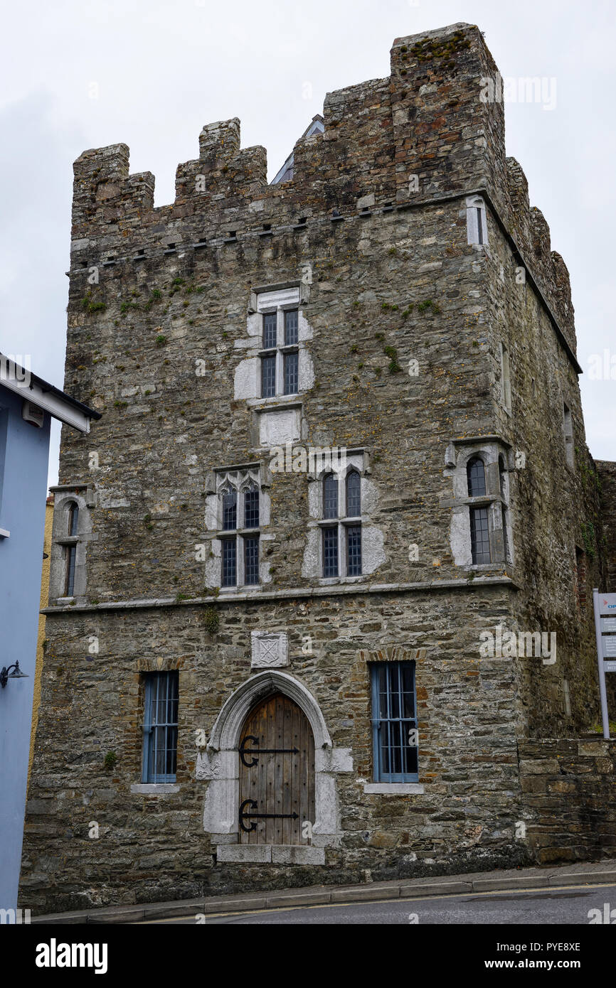 Fulacht fia in OldcastletownFulacht fia · 1385 yd
 Castletown Castle (Site of)Castle, unclassified · 1423 yd
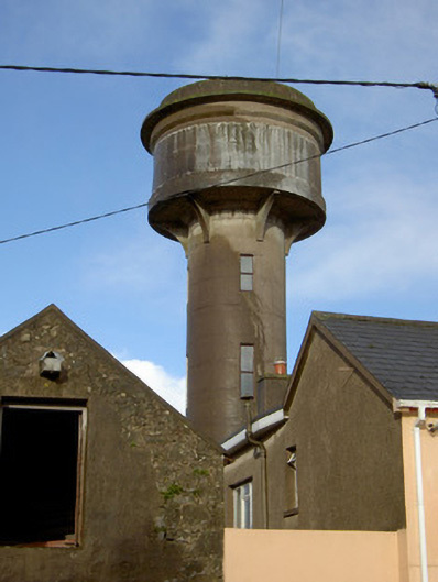 water towerwater tower · 1541 yd
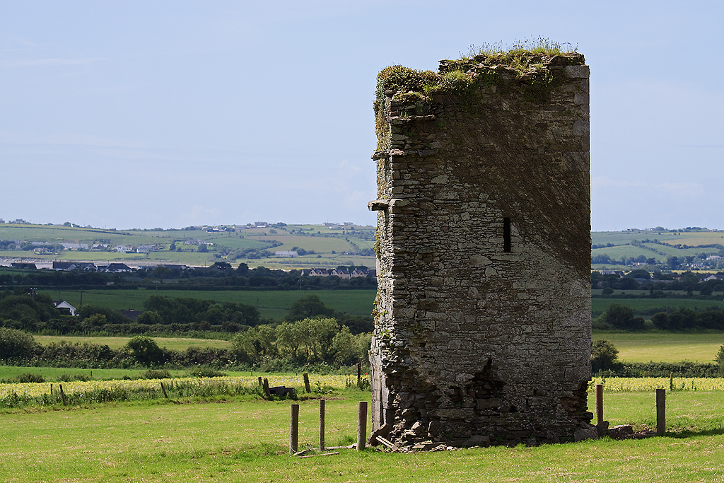 Farahy Castle (in Ruins)Castle, unclassified · 1554 yd
 North Meadow WoodForest · 1.1 mi
 Horse Field WoodForest · 1.3 mi
 Flat cemetery in Ballyenahan NorthFlat cemetery · 2.0 mi
 CarrigeenamronetyMountain / peak · 2.7 mi
 Coolfree MountainMountain / peak · 3.2 mi
 ToberpatrickSpring · 4.1 mi
Other information
Photo: Credit not shown in the picture search · Rights wording not checked; contact us if this picture should be removed