What is recorded here
Fairy fort / earthen ringfort in Kilmacteige is a fairy fort or earthen ringfort in Kilmacteige, County Sligo, Ireland. It occupies a low rise and forms a raised circular area measuring twenty-nine metres north-south and twenty-eight metres east-west. An earthen bank encloses the space, while a collapsed stone wall revets the inside and a man-made underground passage cuts through the northeast section.
On top of a low rise. A raised circular area (29m N-S; 28m E-W) enclosed by an earthen bank (Wth 5.4m; int. H 0.8m; ext. H 1.2m). The bank is revetted on the inside by a stone wall (Wth 1.5m) much of which has collapsed. There is a Man-made underground passage (SL036-048002-) in the bank at NE. The centre of the interior is overgrown.
The above description is derived from the published 'Archaeological Inventory of County Sligo' compiled by Ursula Egan, Elizabeth Byrne, Mary Sleeman with Sheila Ronan and Connie Murphy (Dublin Stationery Office, 2005).
Date of upload: 18 January 2008
The monument record does not grant public access. Check the route and ask the landowner before entering private land.
- What survives
- Recorded monument
Places near here
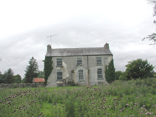 The Gleberectory/glebe/vicarage/curate's house · 546 yd
 LisboyFairy fort / stone ringfort · 657 yd
 CashelFairy fort / stone ringfort · 732 yd
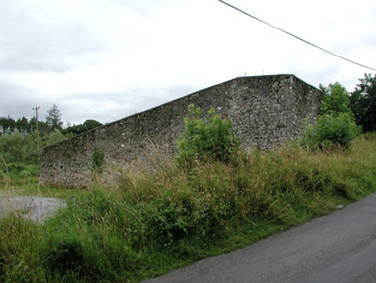 handball alleyhandball alley · 740 yd
 Castle (in Ruins)Castle, tower house · 924 yd
 Castle Carragh in RuinsCastle, unclassified · 3.6 mi
 KnockasliggaunMountain / peak · 4.0 mi
 Lough Talt TrailVisitor information · 4.2 mi
 HawthornHawthorn · 4.7 mi
 Hennigan's Heritage CentreHeritage attraction · 4.8 mi
 Carrick WoodWood · 4.9 mi
 Largan HillMountain / peak · 5.0 mi