What is recorded here
The graveyard in Kilmacomb is in County Waterford, Ireland. It lies towards the bottom of a south-facing slope beside the surviving parish church of Kilmacomb. The 1840 edition of the Ordnance Survey six-inch map shows a graveyard about thirty metres north-south and twenty-five metres east-west surrounding that church, even though burial features are not indicated at the site.
Located towards the bottom of a S-facing slope. The parish church of Kilmacomb (WA027-006001-) survives, but there is no indication of burial, although a graveyard (dims. c. 30m N-S; c. 25m E-W) is indicated surrounding it on the 1840 ed. of the OS 6-inch map.
Compiled by: Michael Moore
Date of upload/revision: 31 May 2011
The monument record does not grant public access. Check the route and ask the landowner before entering private land.
- What survives
- Recorded monument
Places near here
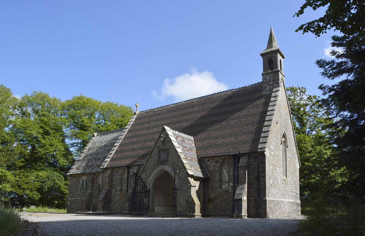 Church (in ruins)Church · 1 yd
 St. John the Baptists WellHoly well · 50 yd
 Enclosure in KilmacombEnclosure · 469 yd
 The Black Woman's RoadWalking route · 1344 yd
 Fairy Bush LoopWalking route · 1540 yd
 Island Viewgates/railings/walls · 1.2 mi
 Knockavelish HeadHeadland · 1.8 mi
 Fornaght StrandBeach / strand · 1.9 mi
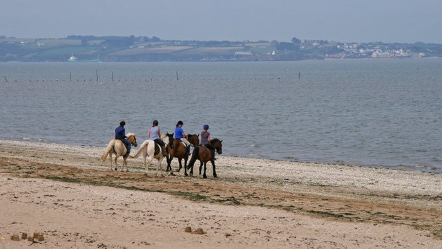 Woodstown StrandBeach / strand · 1.9 mi
 Newtown HeadHeadland · 2.6 mi
 The Baldy ManViewpoint · 4.0 mi
 Memory of the crew of "Rescue 111"Memorial · 4.2 mi