
What is recorded here
Field boundary in Kilmacleague West is a field boundary in Kilmacleague West, County Waterford, Ireland. It is located at the south end of a north-south spur situated between the estuary of the northeast-southwest Kilmacleague Pill to the east and the reclaimed lands of the Tramore Back Strand to the west. Slight earthwork banks covering approximately 1.5 hectares are found north of the parish church of Kilmacleague, which survives only as foundations with no evidence of a graveyard. These banks were mentioned by Power in 1890-91 and are visible on aerial photographs, though they form no discernible pattern.
Located at the S end of a N-S spur between the estuary of the NE-SW Kilmacleague Pill to the E and the reclaimed lands of the Tramore Back Strand to the W. The parish church of Kilmacleague (WA027-019001-) survives as foundations, but there is no evidence of a graveyard. There are slight earthwork banks N of the church covering c. 1.5 ha. which were mentioned by Power (1890-91, 477-8) and are visible on aerial photographs (ACAP V165/ 58-9), but which form no discernible pattern.
Power, Rev. P. (1890-91) The ancient ruined churches of Co. Warterford. JRSAI 20-21, 475-82.
Compiled by: Michael Moore
Date of upload/revision: 10 June 2011
The monument record does not grant public access. Check the route and ask the landowner before entering private land.
- What survives
- Recorded monument
Places near here
 Church (in ruins)Church · 38 yd
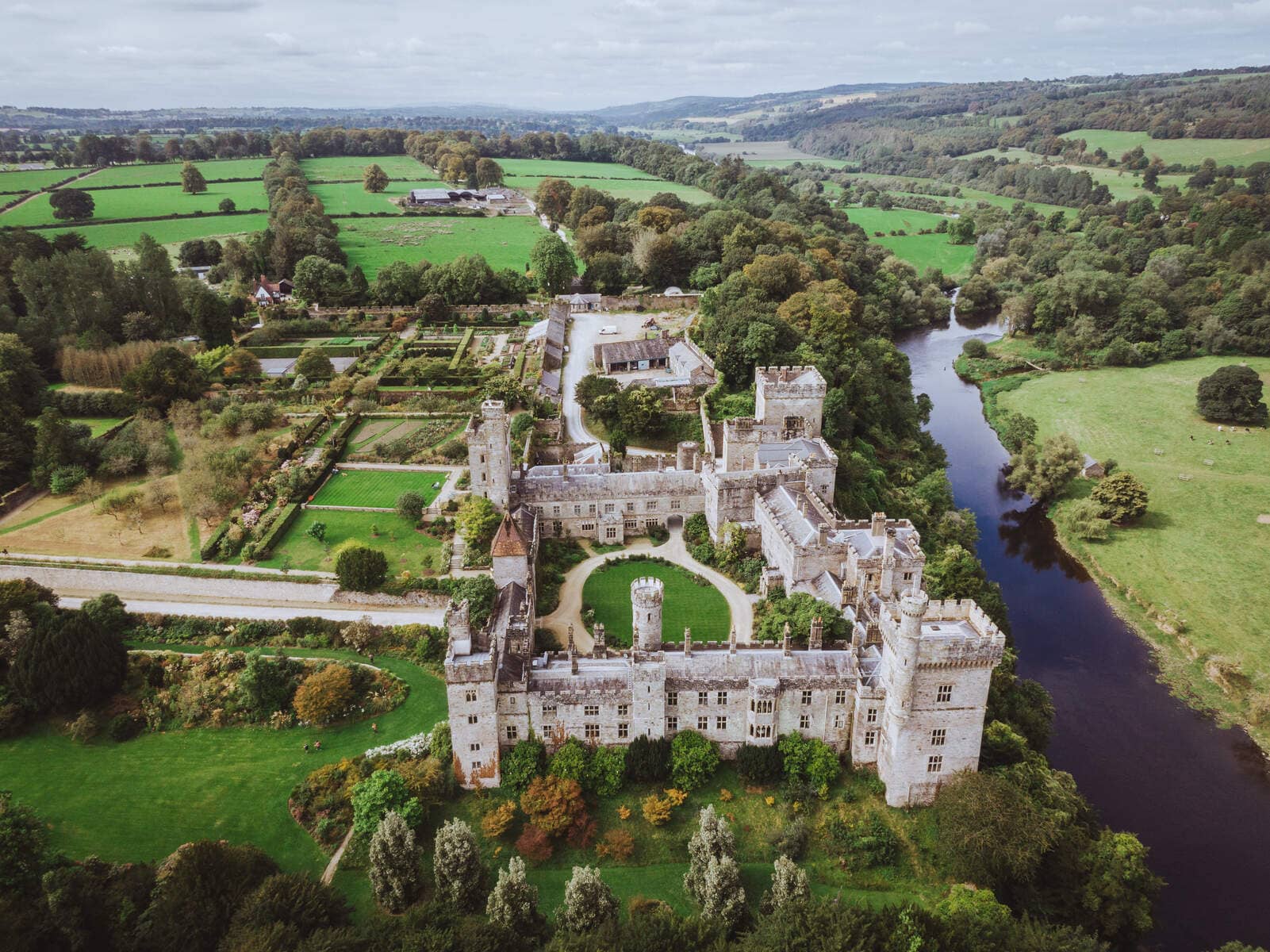 Lisnageragh fortFairy fort / ringfort · 549 yd
 IndicatedEnclosure · 1205 yd
 Lower ForestWood · 1440 yd
 Main ForestWood · 1546 yd
 Corbally Moreoutbuilding · 1716 yd
 The Baldy ManViewpoint · 1.3 mi
 Memory of the crew of "Rescue 111"Memorial · 1.6 mi
 South East Coastal DriveVisitor information · 1.8 mi
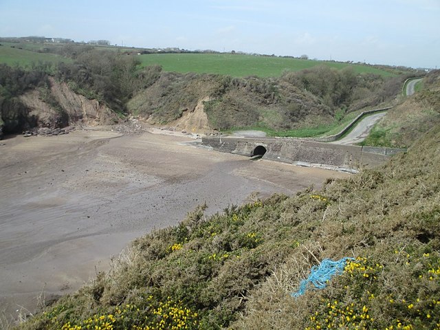 Ballymacaw CoveBeach / strand · 2.0 mi
 Tramore StrandBeach / strand · 2.2 mi
 Rathmoylan-Ballymacaw Cliff WalkWalking route · 2.3 mi
Other information
Photo: Credit not shown in the picture search · Rights wording not checked; contact us if this picture should be removed