What is recorded here
Bullaun stone in Kilmacleague West is a bullaun stone in Kilmacleague West, County Waterford, Ireland. It stood at the south end of a north-south spur situated between the estuary of Kilmacleague Pill to the east and the reclaimed lands of the Tramore Back Strand to the west. The stone, which measured roughly 0.9 metres by 0.6 metres with a height of about 0.6 metres, featured a single basin with a depth of approximately 0.1 metres. Power noted in 1890-91 that this object was then missing from the parish church of Kilmacleague.
Located at the S end of a N-S spur between the estuary of NE-SW Kilmacleague Pill to the E and the reclaimed lands of the Tramore Back Strand to the W. A bullaun stone (dims. c. 0.9m x 0.6m; H c. 0.6m) with a single basin (diam. c. 35m; D c. 0.1m) (Power 1890-91, 477-8) is now missing from the parish church of Kilmacleague (WA027-019001-).
Power, Rev. P. (1890-91) The ancient ruined churches of Co. Warterford. JRSAI 20-21, 475-82.
Compiled by: Michael Moore
Date of upload/revision: 10 June 2011
Likely dating to the early Christian period, bullaun stones were often used for ritual or ecclesiastical purposes, such as anointing with holy water. Local folklore may associate the stone with healing or saintly activity, though specific traditions are not recorded.
The monument record does not grant public access. Check the route and ask the landowner before entering private land.
- What survives
- Recorded monument
Places near here
 Church (in ruins)Church · 1 yd
 Field boundary in Kilmacleague WestField boundary · 38 yd
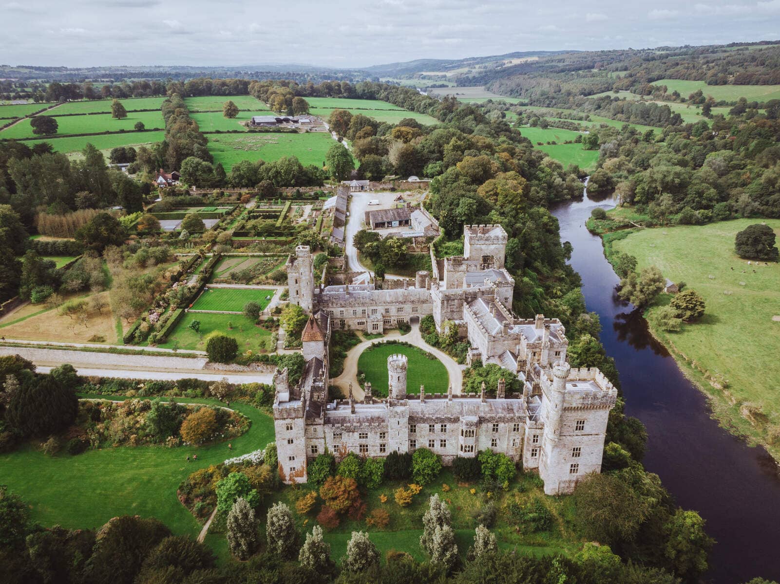 Lisnageragh fortFairy fort / ringfort · 529 yd
 Lower ForestWood · 1405 yd
 Main ForestWood · 1513 yd
 Corbally Moreoutbuilding · 1681 yd
 The Baldy ManViewpoint · 1.3 mi
 Memory of the crew of "Rescue 111"Memorial · 1.5 mi
 South East Coastal DriveVisitor information · 1.8 mi
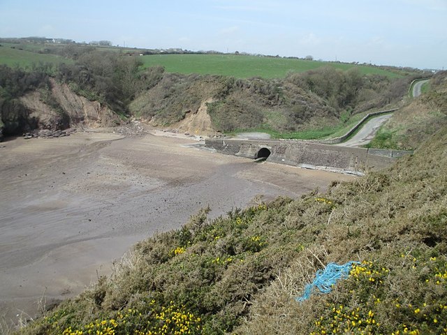 Ballymacaw CoveBeach / strand · 2.0 mi
 Tramore StrandBeach / strand · 2.2 mi
 Rathmoylan-Ballymacaw Cliff WalkWalking route · 2.2 mi