What is recorded here
Lismongragh is a fairy fort or earthen ringfort in Kilmacleague East, County Waterford, Ireland. The monument occupies the summit of a broad hill, where a circular scrub-covered area about 30 metres across is defined by an earthen bank and an outer fosse. At the west-southwest arc, the bank measures about 3 metres wide, 0.7 metres high internally and 2.1 metres high externally, while the re-cut outer fosse reaches a depth of 1.15 metres. No visible entrance breaks the circuit.
Located at the summit of a broad hill. Circular scrub-covered area (diam. c. 30m) defined by an earthen bank (at WSW: Wth c. 3m; int. H 0.7m; ext. H 2.1m) with an outer fosse (D 1.15m), which has been re-cut. There is no visible entrance.
The above description is derived from the published 'Archaeological Inventory of County Waterford' (Dublin: Stationery Office, 1999). In certain instances the entries have been revised and updated in the light of recent research.
Compiled by: Michael Moore
Date of upload/revision: 10 June 2011
The monument record does not grant public access. Check the route and ask the landowner before entering private land.
- What survives
- Recorded monument
Places near here
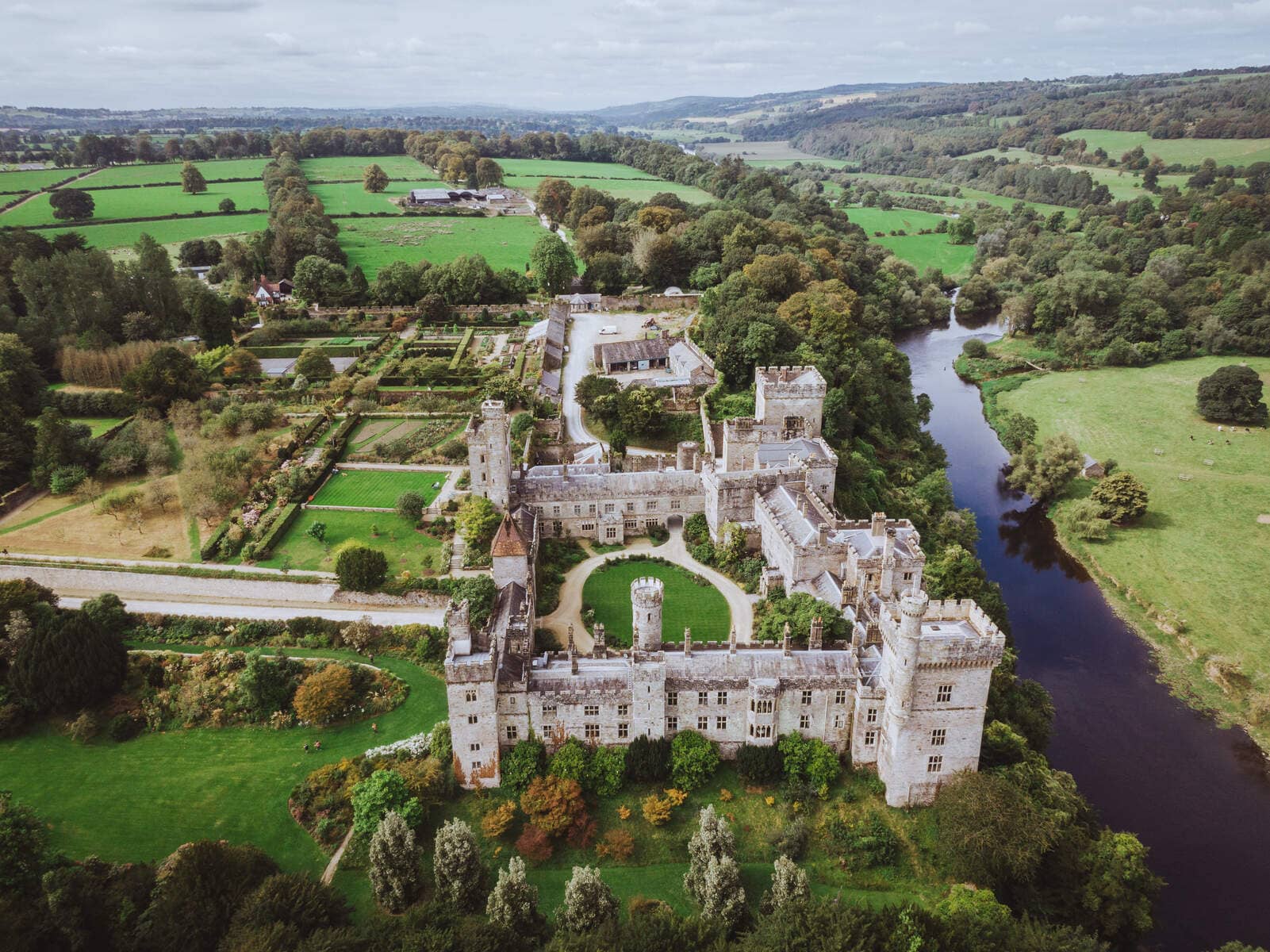 Lisnageragh fortFairy fort / ringfort · 864 yd
 Field boundary in Kilmacleague WestField boundary · 876 yd
 Church (in ruins)Church · 899 yd
 Lower ForestWood · 1.1 mi
 Main ForestWood · 1.1 mi
 Corbally Moreoutbuilding · 1.2 mi
 South East Coastal DriveVisitor information · 1.7 mi
 The Baldy ManViewpoint · 1.7 mi
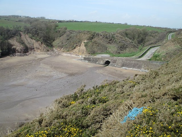 Ballymacaw CoveBeach / strand · 1.9 mi
 Memory of the crew of "Rescue 111"Memorial · 2.0 mi
 Rathmoylan-Ballymacaw Cliff WalkWalking route · 2.1 mi
 Tramore StrandBeach / strand · 2.7 mi