What is recorded here
Situated on a slight rise, in gently undulating pasture, overlooked by higher ground adjacent to SW and W, but with good views in other directions. Depicted on the 1837 ed. OS 6-inch map as a roughly oval-shaped earthwork in a deer park associated with Killynan House. Ringfort (WM020-001----) lies c. 40m to W, enclosure (WM020-144----) c. 230m to W and hut site (WM020-146----) c. 230m to WNW.
Monument described in 1970 and 1979 as a large subcircular-shaped area (dims. 39m NNW-SSE; 35m WSW-ENE) enclosed by an earth and stone bank, intervening fosse and an outer bank (CUCAP BDV085). This inner bank is best preserved from S-W-N, is almost reduced to a scarp from N-E-SE and has been almost completely levelled at SE-E. The original entrance is not obvious but may be at SE. A very shallow fosse and a possible outer bank of earth and stone are present from SE-S-SSW. The outer bank is low and may represent a later field fence. The interior has a slight SE-facing slope with some stones protruding above the surface. Monument is visible today as a roughly circular-shaped earthwork on Digital Globe aerial photography.
Compiled by: Alison McQueen, Vera Rahilly and Caimin O’Brien
Date of upload: 05 June 2019
The monument record does not grant public access. Check the route and ask the landowner before entering private land.
- What survives
- Recorded monument
Places near here
 Enclosure in Killynan (pratt)Enclosure · 282 yd
 Partially hachuredFairy fort / ringfort · 347 yd
 Clondrisse Houseoutbuilding · 721 yd
 Killynan Housefarmyard complex · 822 yd
 CastleCastle, ringwork · 1.4 mi
 OutlinedCastle, unclassified · 1.6 mi
 GinkgoGinkgo · 2.0 mi
 Long PlantingForest · 5.0 mi
 KnockeyonMountain / peak · 5.6 mi
 Kells HillMountain / peak · 9.5 mi
 Croppies' GraveMemorial · 12 mi
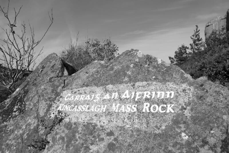 Mass-rock in TevrinMass-rock · 840 yd