
What is recorded here
Situated on a slight rise, in gently undulating pasture, with good views in all directions. Depicted on the 1837 ed. OS 6-inch map as a circular-shaped enclosure and depicted on the 1913 ed. OS 25-inch map as a semi-circular-shaped earthwork (approx. diam. 27m). Levelled monument described in 1970 as a roughly semi-circular shaped area defined by traces of a low broad, very smooth scarp-like feature (max. H 1.2m) visible from W-N-NE. Monument is not clearly visible today on Digital Globe aerial photography.
Compiled by: Alison McQueen, Vera Rahilly and Caimin O’Brien
Date of upload: 05 June 2019
The monument record does not grant public access. Check the route and ask the landowner before entering private land.
- What survives
- Recorded monument
Places near here
 Enclosure in Killynan (pratt)Enclosure · 291 yd
 Clondrisse Houseoutbuilding · 457 yd
 Killynan Housefarmyard complex · 736 yd
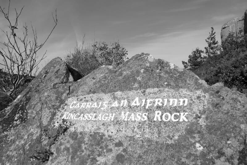 Mass-rock in TevrinMass-rock · 1186 yd
 CastleCastle, ringwork · 1.4 mi
 OutlinedCastle, unclassified · 1.8 mi
 GinkgoGinkgo · 2.1 mi
 Long PlantingForest · 4.9 mi
 KnockeyonMountain / peak · 5.6 mi
 Kells HillMountain / peak · 9.7 mi
 Croppies' GraveMemorial · 12 mi
 EnclosureEnclosure, large enclosure · 1200 yd
Other information
Photo: Credit not shown in the picture search · Rights wording not checked; contact us if this picture should be removed