
What is recorded here
Situated on low natural hillock of rock outcrop with Crosserdree church (WM013-053----) and graveyard (WM013-053001-) 75m to SE. Castle ruin shown on Larkin’s 1808 map of Co. Westmeath. Not depicted as a castle site on any edition of the OS 6-inch maps. Castle site marked by a rectangular shaped area (30m NW-SE; 15m NE-SW) partially covered in scrub which is enclosed by a low earth and stone bank, with a number of low banks in the vicinity. The E face of the hillock has been partially quarried into possibly during the 19th century. Earthworks in field to S consist of cultivation ridges and possible old watercourse. Linear earthwork in field to W may be remains of an old roadway of uncertain antiquity. Rock outcrop which displays evidence of quarrying in field 130m to W.
Compiled by: Frank Coyne and Caimin O'Brien
Date of upload: 9 April 2018
A local castle; wider significance not recorded.
The monument record does not grant public access. Check the route and ask the landowner before entering private land.
- What survives
- Recorded monument
Places near here
 Church in ruinsChurch · 117 yd
 Ecclesiastical enclosure in CrosserdreeEcclesiastical enclosure · 132 yd
 Site of Fennor CastleCastle, tower house · 932 yd
 Hut site in Balrath North (moyashel & Magheradernon By.)Hut site · 1071 yd
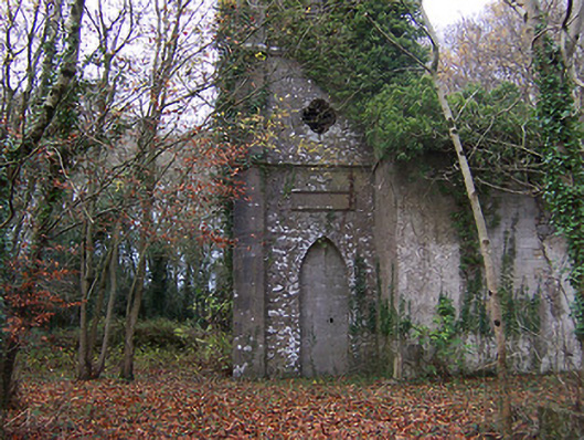 Church of Saint John the Baptist (Rathconnell)church/chapel · 1117 yd
 GinkgoGinkgo · 1.2 mi
 Bawn in Williamstown (briscoe)Bawn · 1.4 mi
 The FurzeForest · 5.1 mi
 KnockeyonMountain / peak · 5.4 mi
 Kells HillMountain / peak · 8.0 mi
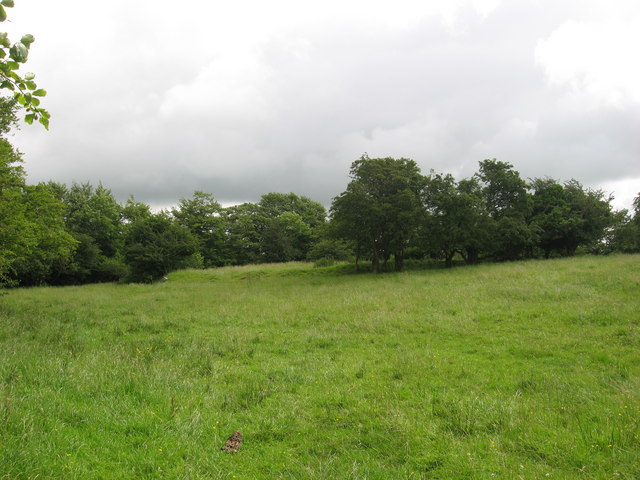 Fairy fort / earthen ringfort in ReynellaFairy fort / earthen ringfort · 1438 yd
 Hachured, RathmoreFairy fort / earthen ringfort · 1681 yd
Other information
Photo: Credit not shown in the picture search · Rights wording not checked; contact us if this picture should be removed