What is recorded here
Indicated is a vanished fort field on a County Cork ridge, reduced to memory and a dotted line on an 1842 map. It stood beside a graveyard, large enough to hold people and secrets, but the land has taken back its shape. What remains is the danger of forgetting: a circle of life erased by time, waiting for someone to stop and imagine it.
On top of a ridge. Shown as dotted circular area (diam. c. 30m) on 1842 OS 6-inch map. Known locally as "fort field". Levelled; no visible surface trace. Graveyard (CO064-046---) c. 100m to S.
The above description is derived from the published 'Archaeological Inventory of County Cork. Volume 2: East and South Cork' (Dublin: Stationery Office, 1994). In certain instances the entries have been revised and updated in the light of recent research.
Date of upload/revision: 14 January 2009
The monument record does not grant public access. Check the route and ask the landowner before entering private land.
- What survives
- Recorded monument
Places near here
 Site of Grave YardBurial ground · 130 yd
 Pit-burial in KillydonoghoePit-burial · 268 yd
 Sarsfields Court (in Ruins)Castle, unclassified · 610 yd
 Butlerstown Housegate lodge · 765 yd
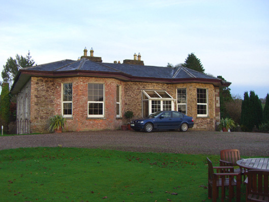 The Hermitagehouse · 1273 yd
 Old Court (Site of)Castle, unclassified · 1.8 mi
 Carberrytown WoodWood · 2.0 mi
 Gleeson MemorialMemorial · 2.0 mi
 Glanmire Heritage SocietyMemorial · 2.2 mi
 Cork WalksVisitor information · 4.9 mi
 Mount Hillary - Knightfield LoopWalking route · 23 mi
 European YewEuropean Yew · 24 mi