What is recorded here
Killurin church and a destroyed rectangular earthwork in County Offaly remain beside vanished lines that once crossed the land. The entrenchments disappeared before human memory, perhaps pulled up for ploughing or hidden beneath grass and rain. They are not lost to knowledge because they are still named, located and remembered. They are lost to the body, which wants to see a ridge, a ditch or a shadow. That absence makes the place sharper. The land kept the shape long enough for people to draw it, then took the shape back.
No surface trace visible of levelled earthworks marked on all editions of the OS 6-inch maps. Killurin church (OF024-022001-) and destroyed rectangular earthwork (OF024-023----) located to the NW and W respectively.
The above description is derived from the published 'Archaeological Inventory of County Offaly' (Dublin: Stationery Office, 1997). In certain instances the entries have been revised and updated in the light of recent research.
Date of upload: 23 May 2011
The monument record does not grant public access. Check the route and ask the landowner before entering private land.
- What survives
- Recorded monument
Places near here
 Killurin Church (in Ruins)Church · 268 yd
 Enclosure in KillurinEnclosure · 278 yd
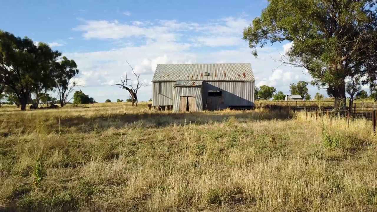 Ross WoodWood · 971 yd
 Mahon's WoodWood · 1198 yd
 Mullagh HillMountain / peak · 1.4 mi
 Enclosure in Clonad (geashill By.)Enclosure · 1.5 mi
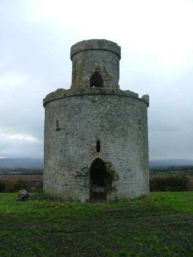 Mullagh Housefolly · 1.5 mi
 Sugar HillMountain / peak · 1.6 mi
 Mountpleasant Ho. in ruinsHouse, fortified house · 1.7 mi
 CastleCastle, unclassified · 2.0 mi
 Ardnagross WellSpring · 2.2 mi
 Graveyard in PallasGraveyard · 2.5 mi