What is recorded here
Killuntin Church vanished before the first stone was lost, leaving only a rectangular shadow on an 1842 map and a circular graveyard hidden beneath the house grounds. Fintan’s name still belongs to the place, though no wall, gate or marker remains to prove it. The earth may hold the shape of the old fence and the bodies of people who prayed there, but the surface has forgotten them completely.
In grounds of Killuntin House (CO044-012001-). 1842 OS 6-inch map shows outline of rectangular building labelled 'site of church', and dotted outline of circular 'graveyard' (CO044-012003-). According to Power (1917, 13) site of 'Cill Fhionntain (Fintan'sChurch)....a man who saw the old graveyard describes it as surrounded by an earthen fence of the usual circular type'. No visible surface trace of church or graveyard.
The above description is derived from the published 'Archaeological Inventory of County Cork. Volume 2: East and South Cork' (Dublin: Stationery Office, 1994). In certain instances the entries have been revised and updated in the light of recent research.
Date of upload/revision: 14 January 2009
The monument record does not grant public access. Check the route and ask the landowner before entering private land.
- What survives
- Recorded monument
Places near here
 Graveyard in Killuntin NorthGraveyard · 1 yd
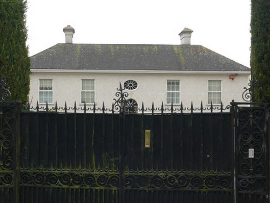 Bridestown Housecountry house · 1053 yd
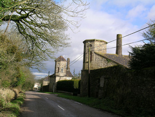 Bridestown Towersoutbuilding · 1073 yd
 Graveyard in GlenvilleGraveyard · 1.3 mi
 Man-made underground passage in Ardnageehy EastMan-made underground passage · 1.6 mi
 IndicatedEnclosure · 1.6 mi
 Castle (in Ruins)Castle, unclassified · 1.9 mi
 Castle (Site of)Castle, unclassified · 4.1 mi
 Cappagh XViewpoint · 4.5 mi
 Devonshire's HillMountain / peak · 4.7 mi
 SeefinMountain / peak · 4.9 mi
 Moanbaun ForestForest · 5.3 mi