What is recorded here
In pasture, on NE-facing slope. Large sub-circular enclosure (diam. c.150m) indicated in field fence pattern on 1842 OS 6-inch map. No visible surface trace.
From the National Monuments Service (Archaeological Survey of Ireland) record CO043-016
The monument record does not grant public access. Check the route and ask the landowner before entering private land.
- What survives
- Recorded monument
Places near here
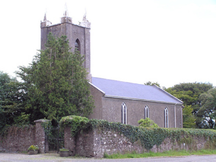 Saint Mary's Church of Ireland ChurchChurch/chapel · 617 ydGraveyard in GlenvilleGraveyard · 667 yd
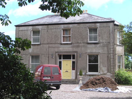 Ardnageehy Glebe House Luxury AccommodationRectory/glebe/vicarage/curate's house · 676 ydBurial Ground1599 ydDoonpeter Holy WellArchaeological place · 1621 ydGraveyard in Killuntin NorthGraveyard · 1.6 miSeefinMountain / peak · 3.8 miCappagh XViewpoint · 4.9 mi
 CorranMountain / peak · 5.2 miJohnson's WoodForest · 5.8 mi
 Ballyhooly CastleCastle · 6.3 mi
 Glanworth CastleCastle · 9.9 mi
Pictures: National Inventory of Architectural Heritage; Hywel Williams, Geograph · CC BY-SA 2.0; Jonathan Thacker, Geograph · CC BY-SA 2.0; The Speckled Bird, Wikimedia Commons · CC BY-SA 4.0
More archaeology and monuments in County Cork · All of County Cork
What do you know about this place?