What is recorded here
indicated is a crannog in Killukin (roscommon By.), County Roscommon, Ireland. The site appears as a subcircular grass-covered rise with a circular mound at its southwest edge, while Ardakillin Lough occupied a much larger area during the nineteenth century than it does today. Another crannog lies approximately one hundred and thirty metres to the northwest.
Marked as an island (diam. c. 20m) on the 1837 ed. of the OS 6-inch map, and now situated in the basin of rectangular Ardakillin Lough (dims. c. 500m E-W; c. 350m N-S), c. 120m S of the S shore. The lake was much larger in the 19th century (dims. c. 1.8km NE-SW; c. 350m NW-SE at NE to c. 600m NW-SE at SW), extending much further to the NE (1837 OS 6-inch map). Subcircular grass-covered rise (dims. 38m NW-SE; 30m NE-SW; H 0.5m) with a circular grass-covered mound (diam. 9m; H 1m) at the SW edge. Crannog (RO028-106----) is c. 130m to the NW.
Compiled by: Michael Moore
Date of upload: 24 August 2010
The monument record does not grant public access. Check the route and ask the landowner before entering private land.
- What survives
- Recorded monument
Places near here
 Church (in Ruins)Church · 286 yd
 IndicatedFairy fort / earthen ringfort · 787 yd
 Embanked enclosureFairy fort / earthen ringfort · 1226 yd
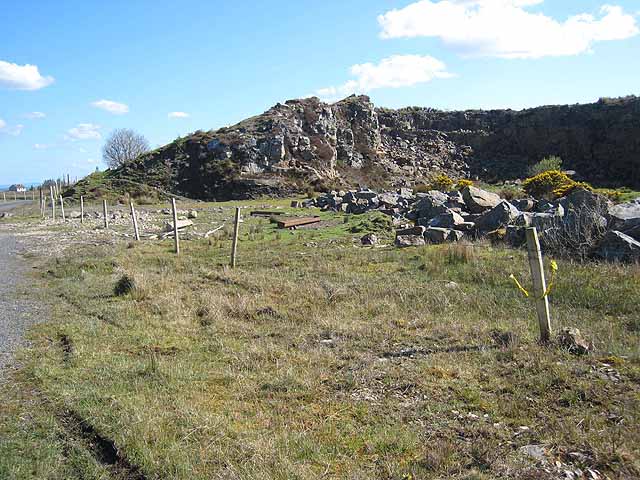 Quarry in BallydalyQuarry · 1.3 mi
 Leitrim CastleCastle, unclassified · 2.4 mi
 Cruachan Aí Heritage CentreMuseum · 3.5 mi
 CastleCastle, unclassified · 3.5 mi
 Common LimeCommon Lime · 3.6 mi
 Sweet ChestnutSweet Chestnut · 3.7 mi
 Strokestown House GardensHeritage attraction · 3.7 mi
 ToberagullaSpring · 4.3 mi
 Slieve BawnMountain / peak · 5.0 mi