What is recorded here
Indicated is a circular fairy fort on a cliff-edge knoll in County Cork, Ireland. Its earthen bank rises one and a half metres on the south side while the rest drops into a scarp, enclosing thirty metres of pasture where people may have lived, hidden or played before the sea took the land around them. The shape remains clear enough to walk, small enough to belong to someone, and old enough that nobody living remembers their name.
In pasture, atop natural knoll, close to cliff edge. Circular, slightly raised area (30m N-S; 30m E-W) enclosed by earthen bank (H 1.6m) S->N; scarp elsewhere.
The above description is derived from the published 'Archaeological Inventory of County Cork. Volume 1: West Cork' (Dublin: Stationery Office, 1992). In certain instances the entries have been revised and updated in the light of recent research.
Date of upload/revision: 14 January 2009
The monument record does not grant public access. Check the route and ask the landowner before entering private land.
- What survives
- Recorded monument
Places near here
 church/chapelchurch/chapel · 377 yd
 League PointHeadland · 457 yd
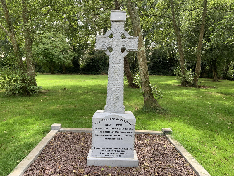 Killoveenege Burial Gd(Children)Burial ground · 747 yd
 Coomkeen Loop WalkWalking route · 1.4 mi
 Durrus CheeseHeritage attraction · 1.4 mi
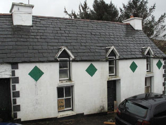 farm housefarm house · 1.8 mi
 Cummer FortFairy fort / earthen ringfort · 1.9 mi
 KnockboolteenaghMountain / peak · 2.2 mi
 Coolnalong Castle (in Ruins)House, fortified house · 2.3 mi
 Lousy Castle IslandIslet · 2.7 mi
 Rossmore Castle (in Ruins)Castle, tower house · 2.9 mi
 Mannion's Island (Small)Islet · 2.9 mi