What is recorded here
In pasture, located on a prominent NE−SW rise, utilising the fall of ground to N−NE and S. There are excellent views to N−E. It is overlooked by a ridge at SW. Ground falls into a lowlying hollow of damp ground to N. The Pollagh River is 360m to SE.
Raised subcircular area (29.8m NE−SW; 27.8m NW−SE) defined by a scarp (H 1.6m at S, 1.1m at NE, 1.8m at W). A low slump (Wth c. 4m) in the scarp at E, which faces gently sloping ground, may be the site of an original entrance.
The interior has a slightly raised, NE−SW spine in the NW half, with a slight slope down to SSW and a more pronounced slope down to NNE. Grass cover, with a thicket of gorse on the SW edge. A field fence, shown on the 1931 OS 6-inch map, which clipped the SE side of the rath has been removed.
Compiled by: Jane O’Shaughnessy
Date of upload: 14 September 2021
This remains an important historical record, but the official description says the monument is no longer visible or has been destroyed. The monument record does not grant public access. Check the route and ask the landowner before entering private land.
- What survives
- No visible remains or recorded as destroyed
Places near here
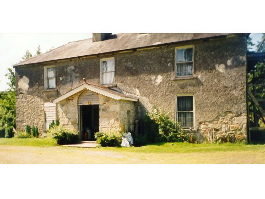 Killedan Housefarm house · 660 yd
 IndicatedFairy fort / earthen ringfort · 867 yd
 Killedan ChurchChurch · 1432 yd
 CrossCross · 1.4 mi
 I'll Send You The FareMemorial · 1.8 mi
 Kiltimagh MuseumMuseum · 2.0 mi
 Thorn CaveCave · 2.3 mi
 Carrowbeg WoodWood · 2.9 mi
 CashlankeeghCastle, unclassified · 3.1 mi
 Castle in ruinsCastle, tower house · 3.5 mi
 Brabazon WoodsForest · 5.5 mi
 Youth Memorial GardenMemorial · 5.5 mi