
What is recorded here
In pasture, on top of a ridge, close to the break of slope on the NE side.
Roughly circular area (diam. c. 25m) enclosed by an earth and stone bank. The bank forms a substantial embankment (Wth 3.4-5m; int. H 0.3m; ext. H 1.7m) at NE−SE, enhanced by the natural fall of ground. On the W arc the bank is narrower and more compact (Wth 2.7m; int. H 0.9m; ext. H 1.35m) and on the N arc it narrows further (Wth 1.4m) and the external face is quite vertical with traces of stones facing –this appears to be due to the incorporation of the rath into later field banks. The rath appears to be built up slightly on the NE side to compensate for the natural fall of ground. There is a break (Wth 3.4m) in the bank at NW. The interior is fairly level; the NE quadrant is engulfed in brambles and blackthorn scrub, and blackthorn scrub is encroaching in parts on the rest of the interior. Field clearance stones are piled against the rath on the E side. A field fence on a NNE−SSW axis crosses the rath slightly to SE of centre.
There are raths (MA071-155----; MA071-157----; MA071-158----) 80m to W, 50m to NE and 92m to SE, respectively.
Compiled by: Jane O’Shaughnessy
Date of upload: 14 September 2021
The monument record does not grant public access. Check the route and ask the landowner before entering private land.
- What survives
- Recorded monument
Places near here
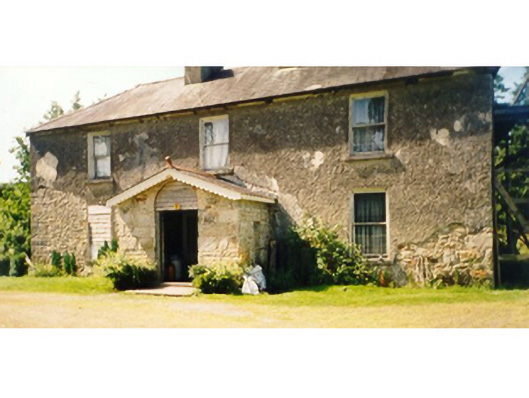 Killedan Housefarm house · 500 yd
 Killedan ChurchChurch · 1207 yd
 CrossCross · 1.8 mi
 Thorn CaveCave · 2.0 mi
 Enclosure in Clooneen (gallen By.)Enclosure · 2.2 mi
 I'll Send You The FareMemorial · 2.2 mi
 Kiltimagh MuseumMuseum · 2.4 mi
 Carrowbeg WoodWood · 3.3 mi
 CashlankeeghCastle, unclassified · 3.5 mi
 Shonagawna Castle in RuinsCastle, unclassified · 4.9 mi
 Youth Memorial GardenMemorial · 5.1 mi
 Brabazon WoodsForest · 5.1 mi
Other information
Photo: Credit not shown in the picture search · Rights wording not checked; contact us if this picture should be removed