What is recorded here
A deposit of mixed brushwood and twigs (L 0.9m min.; Wth 1.12m min.; D 0.09m min.) on the field surface, 3-4 rods deep. The heavier pieces of brushwood (diam. 0.038-0.045m) are interspersed with the twigs. The larger elements continue beyond the limit of exposure in a NW-SE direction. Wedge points and evidence of branch-trimming were present on some pieces, all indicative of a metal tool. SMR WM039-116---- is located on the field surface 3.1m to the SE.
Date of upload: 09 August 2013
The monument record does not grant public access. Check the route and ask the landowner before entering private land.
- What survives
- Recorded monument
Places near here
 StructureStructure, peatland · 364 yd
 Partially hachuredFairy fort / ringfort · 1178 yd
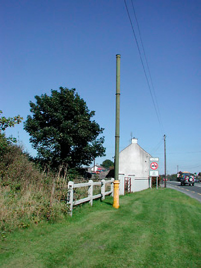 vent pipevent pipe · 1.1 mi
 Sallyfield Houserectory/glebe/vicarage/curate's house · 1.1 mi
 Tyrrellspass CastleCastle, tower house · 1.3 mi
 Montrath Castle (in ruins)Castle, tower house · 1.5 mi
 Ardan WoodWood · 2.2 mi
 Lackan HillMountain / peak · 2.5 mi
 Bonfire HillMountain / peak · 3.1 mi
 Bracklin WoodWood · 4.2 mi
 Finnrenashark Holy WellSpring · 4.7 mi
 Croghan HillMountain / peak · 4.7 mi