What is recorded here
This unexcavated sighting is located in the industrial peatlands of Toar Bog. was recorded in the 2013 Re-assessment Peatland Survey as a disperse arrangement of brushwood located on the field surface for a length of 10.4m. The elements were machine damaged and broken along their lengths. Sighting A consisted of a single brushwood peg visible on the field surface. The peg had a wedge point toolmarked end with three flat facets. Sighting B comprised of four fragmentary brushwood elements exposed on the field surface which were orientated N-S. The site was situated in poor to moderately humified Sphagnum peat with Menyanthes inclusions (Whitaker 2014). A fragment of hazel was chosen for AMS dating and returned a result of cal. 21 BC–126 AD (UBA 26604).
Compiled by: Jane Whitaker, Femke Vleeshouwer
Date of upload: 02/03/2020
The monument record does not grant public access. Check the route and ask the landowner before entering private land.
- What survives
- Recorded monument
Places near here
 StructureStructure, peatland · 542 yd
 Partially hachuredFairy fort / ringfort · 1167 yd
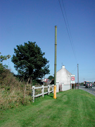 vent pipevent pipe · 1706 yd
 Sallyfield Houserectory/glebe/vicarage/curate's house · 1.0 mi
 Tyrrellspass CastleCastle, tower house · 1.1 mi
 Montrath Castle (in ruins)Castle, tower house · 1.6 mi
 Ardan WoodWood · 2.3 mi
 Lackan HillMountain / peak · 2.7 mi
 Bonfire HillMountain / peak · 3.2 mi
 Bracklin WoodWood · 4.3 mi
 Finnrenashark Holy WellSpring · 4.7 mi
 Croghan HillMountain / peak · 4.7 mi