What is recorded here
The site (Wth 2.35m; D 0.4m) consists of a compact arrangement of brushwood. All the pieces are orientated in a NE-SW direction but it is not possible to determine the orientation of the site. The brushwood (diam. 0.025-0.035m) is laid five pieces deep. The main concentration of wood has a depth of c. 0.1m but the overall depth of the site is exaggerated by the presence of two pieces slightly below the site. A similar outlying piece is recorded 0.2m from the SW edge of the site. One piece shows evidence for woodworking. The site is situated in moderately humified Sphagnum and Eriophorum peat containing ericaceous remains.
Date of upload: 09 August 2013
The monument record does not grant public access. Check the route and ask the landowner before entering private land.
- What survives
- Recorded monument
Places near here
 StructureStructure, peatland · 522 yd
 Partially hachuredFairy fort / ringfort · 1268 yd
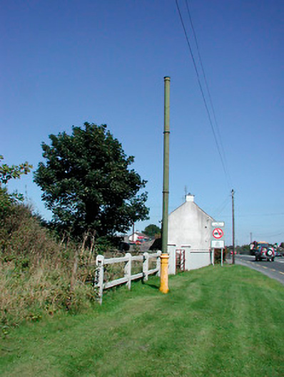 vent pipevent pipe · 1.1 mi
 Sallyfield Houserectory/glebe/vicarage/curate's house · 1.1 mi
 Tyrrellspass CastleCastle, tower house · 1.2 mi
 Montrath Castle (in ruins)Castle, tower house · 1.5 mi
 Ardan WoodWood · 2.3 mi
 Lackan HillMountain / peak · 2.6 mi
 Bonfire HillMountain / peak · 3.2 mi
 Bracklin WoodWood · 4.3 mi
 Finnrenashark Holy WellSpring · 4.6 mi
 Croghan HillMountain / peak · 4.6 mi