What is recorded here
The site (L 1.09m; Wth 0.56m; D 0.08m) is orientated NNW-SSE and consists of the partial remains of a hurdle panel. The rods (diam. 0.01-0.02m), are 2-3 pieces deep and arranged in a single weave. A pair of sails (diam. 0.02-0.022m) are located at the S end of the site and the fragment of a single sail is evident towards the N end. The panel is overlain by a bed of twigs (L 0.31m; Wth; 0.15m; D 0.02m). Woodworking is noted on one of the sails. The site is in poor condition having been disturbed by machinery particularly towards the its N. The S end of the site, however, may have been damaged in antiquity. Wood species include hazel and alder. Radiocarbon dated to cal. AD 1310-1483 (UCD-0142). It sits in moderately humified Sphagnum peat containing Eriophorum, ericaceous remains and fibrous roots. At its N end, there is a patch of poorly humified Sphagnum peat. SMR WM039-023---- is located 2.3m to the E of the site.
Date of upload: 08 August 2013
The monument record does not grant public access. Check the route and ask the landowner before entering private land.
- What survives
- Recorded monument
Places near here
 StructureStructure, peatland · 289 yd
 Partially hachuredFairy fort / ringfort · 1099 yd
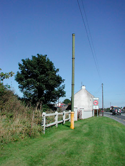 vent pipevent pipe · 1.1 mi
 Sallyfield Houserectory/glebe/vicarage/curate's house · 1.1 mi
 Tyrrellspass CastleCastle, tower house · 1.3 mi
 Montrath Castle (in ruins)Castle, tower house · 1.5 mi
 Ardan WoodWood · 2.1 mi
 Lackan HillMountain / peak · 2.6 mi
 Bonfire HillMountain / peak · 3.0 mi
 Bracklin WoodWood · 4.2 mi
 Finnrenashark Holy WellSpring · 4.7 mi
 Croghan HillMountain / peak · 4.7 mi