What is recorded here
Killanully holds a rectangular earthwork beside the Owenboy river, its shallow ditch cut into solid bed-rock and its bank packed with scattered animal bone. The empty interior preserved no hearth, posthole or chamber, only brown loam and forgotten clay pipes. Perhaps people worked that slope before the quarry took it, drawing a temporary line around ordinary life instead of building a permanent chamber for memory.
In pasture, N of Owenboy river, on S-facing slope. Situated some 25m NE of a circular enclosure (CO086-048----) this monument was excavated (License No. 92E0104) in advance of quarrying. A summary report of the excavations by C. Mount (http://www.excavations.ie/report/1992/Cork/0001222/) describes the results as follows: 'It was a rectangular banked and ditched enclosure which measured internally 19.5m east-west by 14m north-south and was contiguous to a field boundary on its eastern side. The bank and ditch were sectioned and the bank, which measured 3m in width and 0.6m in maximum height, was found to consist of 2 layers containing a small quantity of animal bone built on the old ground surface. The ditch consisted of a shallow U-shaped cut 2m in width at the top and up to 0.5m in depth. It contained 2 layers of fill. Where it met the field boundary it was found to end at a solid vertical face of bed-rock which was stratified under the old ground surface and the stone and earthen field boundary. Therefore the enclosure post-dates the construction of the field boundary. The interior of the site was found to contain no features of any kind. It consisted of a layer of brown almost stone-free loam to a depth of 0.6m and appeared to be a cultivation horizon. The finds from the site consisted mainly of post-medieval pottery and parts of clay pipes so that the site would appear to date to the 18th century or later.' (Mount 1992; Power 1994, no. 5407)
Updated by: Paul Walsh
Date of upload: 13 August 2015
The monument record does not grant public access. Check the route and ask the landowner before entering private land.
- What survives
- Recorded monument
Places near here
 Furnace in KillanullyFurnace · 59 yd
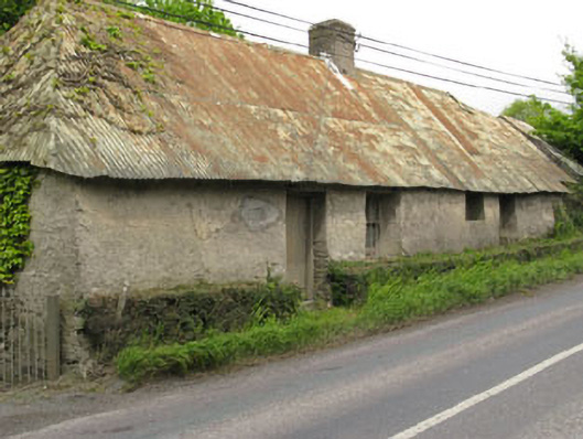 Historic buildingOfficially recorded historic building · 296 yd
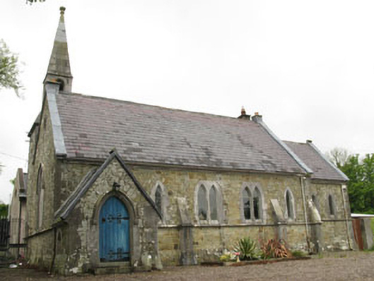 church/chapelchurch/chapel · 454 yd
 Enclosure in BallygarvanEnclosure · 1506 yd
 Ballea CastleCastle, tower house · 1.1 mi
 Meadstown Castle (Site of)Castle, unclassified · 1.2 mi
 Manx2 Flight 7100aviation accident · 2.2 mi
 Pauper's GraveyardArchaeological place · 2.4 mi
 Graveyard in CurraghconwayGraveyard · 3.0 mi
 Be Framed Fine Art GalleryGallery · 3.6 mi
 Vernon Mount ViewViewpoint · 3.7 mi
 City View SummitViewpoint · 3.8 mi