What is recorded here
On N-facing slope in gently undulating terrain under pasture. Monument has been levelled but is still visible as a large roughly circular enclosure (diam. 73m N-S; 83m E-W) defined by a bank (Wth 6.4-7.3m; int. H 0.15m; ext. H 0.27-0.73m), fosse (Wth 4.5-6.1m; D 0.25-0.43m) and outer bank or counterscarp (Wth 2.8-5.8m). Telegraph pole roughly in centre of enclosure with post and pail fence around it. Bank is poorly preserved from SW-W-NW.
Compiled by: Jean Farrelly
Date of upload: 26 August 2011
The monument record does not grant public access. Check the route and ask the landowner before entering private land.
- What survives
- Recorded monument
Places near here
 Raheen fortCastle, ringwork and bailey · 556 yd
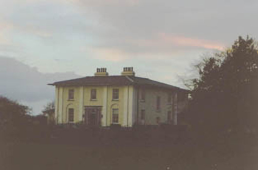 Coolmore Housecountry house · 1008 yd
 Slainstown Castle (in ruins)Castle, tower house · 1167 yd
 Ladys WellHoly well · 1193 yd
 RathavinFairy fort / earthen ringfort · 1417 yd
 Kilknockan HillMountain / peak · 1.1 mi
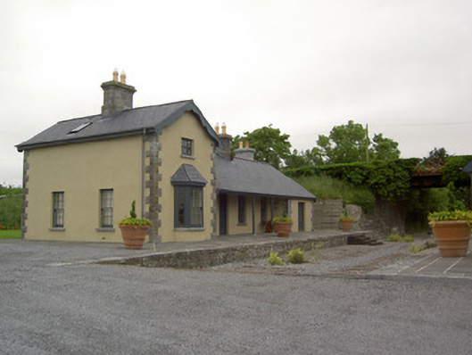 Farranaleen Railway Stationrailway station · 1.3 mi
 East GateMemorial · 2.2 mi
 European YewEuropean Yew · 2.3 mi
 Grove WoodForest · 3.3 mi
 Eagle HillMountain / peak · 4.1 mi
 Hore AbbeyHeritage attraction · 8.8 mi