
What is recorded here
On the crest of a gentle ridge running N-S, in undulating terrain under pasture, with good views. An impressive earthwork consisting of a central raised area (diam. 30m N-S; 33m E-W) defined by an earthen bank (int. H 0.7m; ext. H 3.3m; Wth at top 2.6m; overall Wth 9.8m), reduced to scarp in some areas, a wide flat-bottomed fosse (Wth 4m) and an outer bank (int. H 1.94m; ext. H 0.9m; Wth at top 1.7m; overall Wth 5.2m). The banks and interior are quite overgrown with trees and scrub. The interior appears to be slightly dished and is quite wet. The outer bank appears to be stonier than the inner bank. In the NNW (340°) there is a cattle break (Wth 2m) in the inner bank. There is a hollow (dims. 7m N-S; 5m E-W) disturbing the fosse and outer bank in the S quadrant, possibly caused by small scale quarrying with upcast along the W side. There is some suggestion of a causewayed entrance at this point but this may be due to the later disturbance. The conjoined enclosure (TS062-116001-) to the N appears to pre-date this monument. It is likely that the ringwork was deliberately sited to avail of the pre-existing enclosure, the latter probably being utilised as a bailey.
Compiled by: Jean Farrelly
Date of upload: 25 June 2013
A local castle; wider significance not recorded.
The monument record does not grant public access. Check the route and ask the landowner before entering private land.
- What survives
- Recorded monument
Places near here
 RathavinFairy fort / earthen ringfort · 914 yd
 Carrigeen CastleCastle · 1175 yd
 Site of CastleCastle, unclassified · 1360 yd
 Site of ChurchChurch · 1405 yd
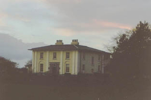 Coolmore Housecountry house · 1459 yd
 Kilknockan HillMountain / peak · 1.1 mi
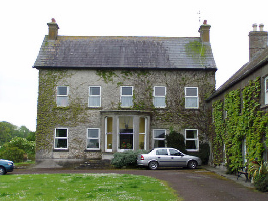 Rathcoole Castlehouse · 1.1 mi
 East GateMemorial · 2.1 mi
 European YewEuropean Yew · 2.1 mi
 Grove WoodForest · 3.2 mi
 Eagle HillMountain / peak · 4.4 mi
 Hore AbbeyHeritage attraction · 8.5 mi
Other information
Photo: Credit not shown in the picture search · Rights wording not checked; contact us if this picture should be removed