
What is recorded here
At base of S bank of a ringfort (TS062-121001-) on gradual SSE-facing slope in undulating terrain, in pasture. Well consists of a muddy pool with water flowing into the well along the fosse of the ringfort. It is defined along its E side by an earthen bank and along its S and W sides by shallow scarp. Metalled surface, part of an old trackway, to SE.
Compiled by: Jean Farrelly
Date of upload: 26 August 2011
Linked to a local tradition of healing, the well is associated with a female saint or spirit, possibly connected to the ringfort’s ancient past. The flowing water, which enters the well through the ringfort’s fosse, is believed to have curative properties, particularly for women’s ailments.
The monument record does not grant public access. Check the route and ask the landowner before entering private land.
- What survives
- Recorded monument
Places near here
 Slainstown Castle (in ruins)Castle, tower house · 113 yd
 Enclosure in KnockkellyEnclosure · 1057 yd
 Knockkelly CastleCastle · 1251 yd
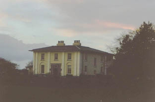 Coolmore Housecountry house · 1423 yd
 Concentric enclosure in KnockkellyConcentric enclosure · 1457 yd
 Kilknockan HillMountain / peak · 1.2 mi
 Peppardstown Househouse · 1.2 mi
 East GateMemorial · 2.3 mi
 European YewEuropean Yew · 2.4 mi
 Grove WoodForest · 3.3 mi
 Eagle HillMountain / peak · 3.7 mi
 Cashel Folk MusuemMuseum · 9.0 mi
Other information
Photo: Credit not shown in the picture search · Rights wording not checked; contact us if this picture should be removed