
What is recorded here
On a slight rise on gradual W-facing slope in undulating pasture. Monument levelled and not visible at ground level. Field boundary runs roughly N-S along E quadrant, this boundary curves slightly to accommodate the curving monument. Monument (diam. 35m) upstanding when visited in 1982 and had a bank and outer fosse, it was classified as a ringfort (Cahill 1982). However, an aerial photograph taken in 1996 (ASIAP (39) 7-11) shows the monument (overall diam. c. 65m) as a cropmark, consisting of a circular area enclosed by a fosse, with an outer berm (Wth c. 11m) and outer fosse. The field boudary described above truncates the berm and outer fosse from NNE-SE.
Compiled by: Jean Farrelly
Date of revised upload: 21 November 2016
A local fairy fort (ringfort/rath); wider significance not recorded.
The monument record does not grant public access. Check the route and ask the landowner before entering private land.
- What survives
- Recorded monument
Places near here
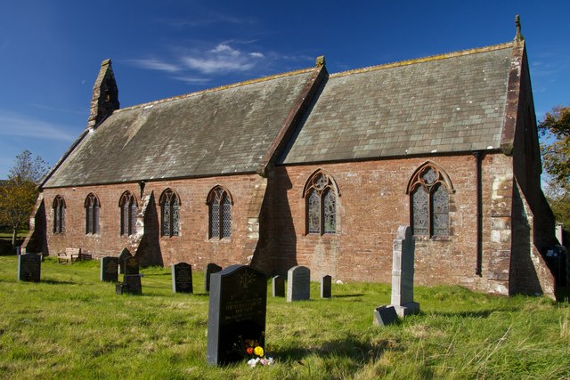 Site of St. James ChurchChurch · 780 yd
 Peppardstown Househouse · 871 yd
 Enclosure in KnockkellyEnclosure · 900 yd
 Knockkelly CastleCastle · 1019 yd
 Slainstown Castle (in ruins)Castle, tower house · 1525 yd
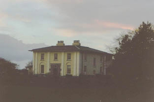 Coolmore Housecountry house · 1.4 mi
 Kilknockan HillMountain / peak · 1.8 mi
 East GateMemorial · 2.8 mi
 European YewEuropean Yew · 2.9 mi
 Eagle HillMountain / peak · 3.2 mi
 Grove WoodForest · 3.7 mi
 Gobban Saer's GraveArchaeological place · 7.4 mi
Other information
Photo: Credit not shown in the picture search · Rights wording not checked; contact us if this picture should be removed