What is recorded here
Indicated is a sub-rectangular graveyard in County Louth, Ireland, holding church remains in its northwest corner. The earliest noted graveslab dates to 1861, yet earlier unmarked burials probably fill the soil beneath. That hidden depth suggests generations lived, died and vanished before stone marked their departure.
Sub-rectangular graveyard (map dims. L 65m; Wth 30m) with church remains (LH004-060001-) in NW. The earliest noted graveslab dates to 1861, but there are probably earlier unmarked burials here. (SMR file)
Compiled by: Claire Breen
Date of upload: 17 November 2011
The monument record does not grant public access. Check the route and ask the landowner before entering private land.
- What survives
- Recorded monument
Places near here
 Church in KilcurryChurch · 9 yd
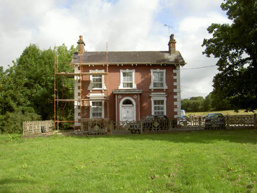 Millbrook Housemiller's house · 558 yd
 Fort HillEnclosure · 646 yd
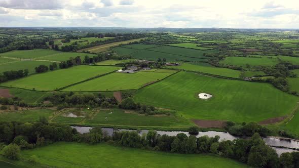 Field system in BalrigganField system · 716 yd
 Balregan CastleCastle, tower house · 851 yd
 TumulusCastle, motte and bailey · 1338 yd
 MonascreebeMountain / peak · 1.8 mi
 Battle of FaughartMajor battlefield · 1.8 mi
 Sky HillMountain / peak · 2.4 mi
 Dundalk CentralHeritage attraction · 2.5 mi
 Maid of ErinMemorial · 2.5 mi
 Bombing 1975Memorial · 2.6 mi