What is recorded here
Fairy fort / earthen ringfort in Kilcommon More (south) is a fairy fort or earthen ringfort in Kilcommon More (south), County Tipperary, Ireland. It occupies a roughly circular area about 35 metres across on the north-facing slope of a gentle hill. An earthen bank encloses the site, reaching 1.1 metres externally and 0.95 to 1.9 metres internally. The bank is very high and disturbed in the southeast quadrant, probably from recent dumping, while it remains intact in the northwest quadrant.
On the N-facing slope of a gentle hill in undulating pastureland. Ringfort (TS081-033002-) lies 50m to the NW. Monument very overgrown, has been fenced off. Roughly circular area (based on depiction on 2nd (1906) ed. OS 6-inch map) with a diam. c. 35m (OPW Correspondence 1969), enclosed by an earthen bank (Wth 1.4-2m crest, 4.4m base; int. H 0.95-1.9m; ext. H 1.1m). In the SE quadrant the bank is very high and quite disturbed, appears to be the result of fairly recent dumping. Number of tree stumps around the bank. No visible evidence of an external fosse. Bank somewhat disturbed in the NW quadrant but still intact. The field boundaries to NW and W of the ringfort depicted on the 2nd ed. OS 6-inch map have been removed, the material probably dumped on the bank in the SE quadrant.
Compiled by: Jean Farrelly
Date of upload: 07 January 2014
The monument record does not grant public access. Check the route and ask the landowner before entering private land.
- What survives
- Recorded monument
Places near here
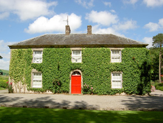 Farmly Househouse · 677 yd
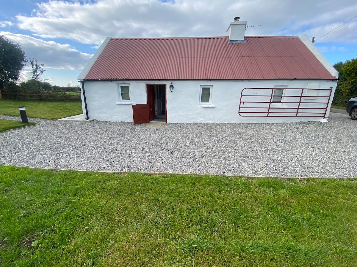 Enclosure in Kilcommon More (south)Enclosure · 1170 yd
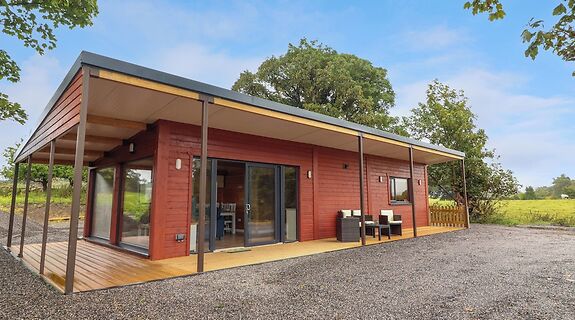 Enclosure in KillinureEnclosure · 1745 yd
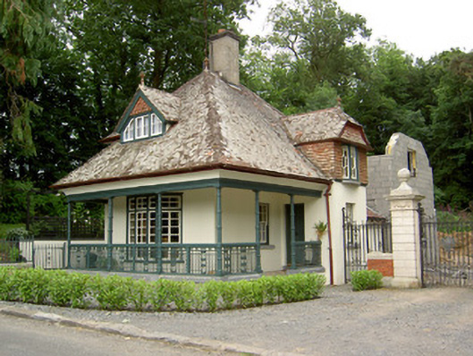 Ballybrada Housegate lodge · 1759 yd
 Roosca CastleCastle · 1.1 mi
 Pedunculate OakPedunculate Oak · 1.2 mi
 Cottagehill WoodForest · 1.4 mi
 CastleCastle, motte · 1.7 mi
 Woodcock HillMountain / peak · 2.3 mi
 Cahir CastleHeritage attraction · 2.4 miSiege of Cahir Castlesiege · 2.5 mi
 Caher AbbeyHeritage attraction · 2.7 mi