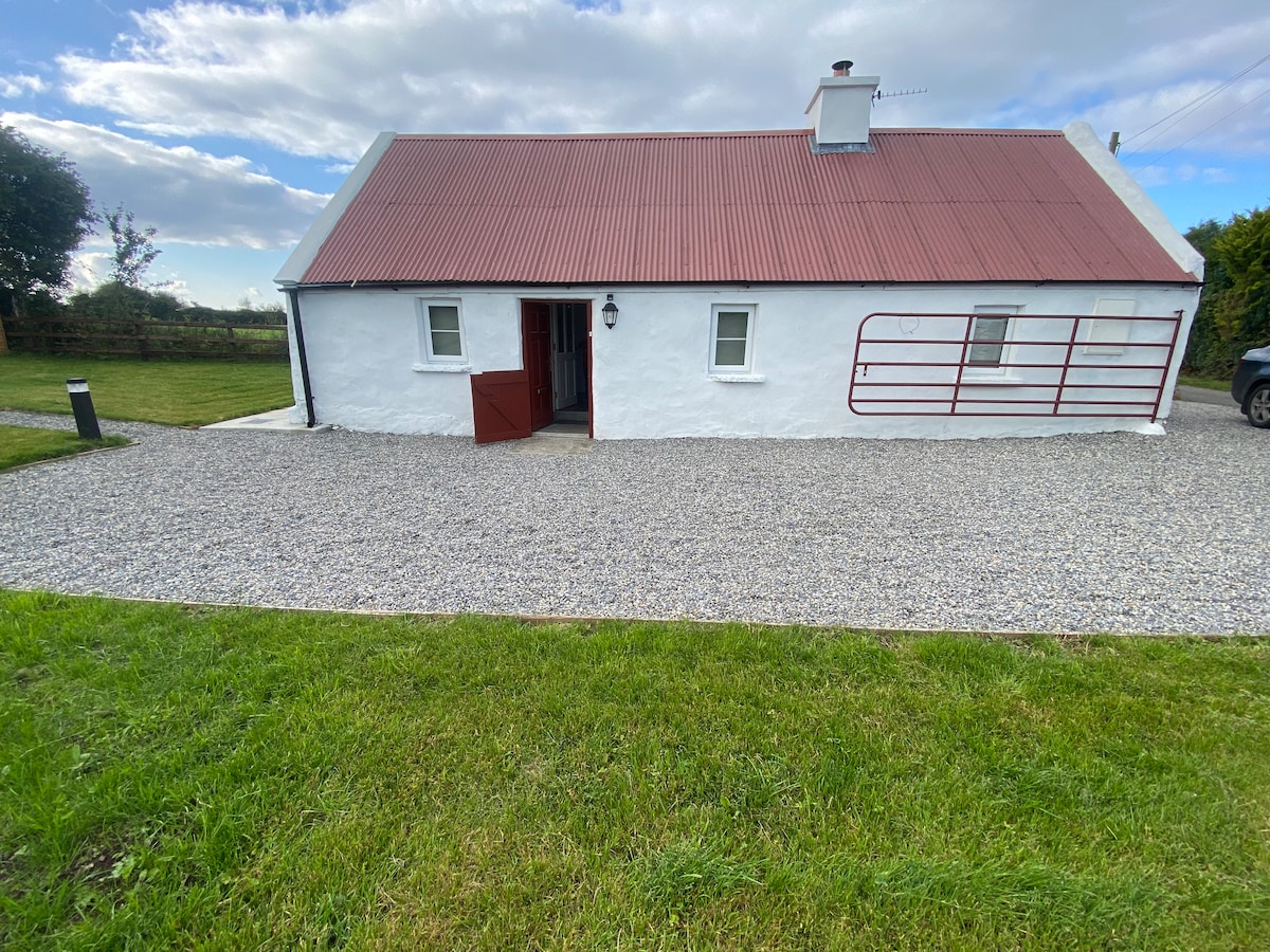
What is recorded here
On the summit of a ridge in rolling, undulating terrain, under tillage. Another cropmark enclosure (TS081-069----) was identified c. 70m to the W. The enclosure was indentied on aerial photograph (ASIAP (30) 11-14, 3.8.97). It appears as a roughly circular corpmark, a field boundary obscures the SE quadrant. It is not visible at ground level.
Compiled by: Jean Farrelly
Date of upload: 15 January 2014
The monument record does not grant public access. Check the route and ask the landowner before entering private land.
- What survives
- Recorded monument
Places near here
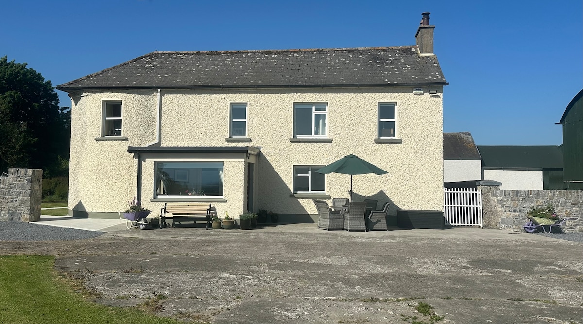 Enclosure in Kilcommon More (north)Enclosure · 819 yd
 Cottagehill WoodForest · 1286 yd
 Site of ChurchChurch · 1307 yd
 Pedunculate OakPedunculate Oak · 1342 yd
 Swiss Cottagecottage ornee · 1345 yd
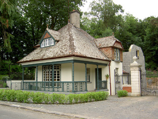 Ballybrada Housegate lodge · 1376 yd
 Roosca CastleCastle · 1.5 mi
 Cahir CastleHeritage attraction · 1.8 mi
 Site of CastleCastle, unclassified · 1.9 miSiege of Cahir Castlesiege · 1.9 mi
 Caher AbbeyHeritage attraction · 2.1 mi
 Woodcock HillMountain / peak · 2.3 mi
Other information
Photo: Credit not shown in the picture search · Rights wording not checked; contact us if this picture should be removed