
What is recorded here
On a W-facing slope in gently rolling terrain generally under pasture.The church is not visible at ground level. Although 'Site of Church' is depicted on the 1st (1840) ed. OS 6-inch map, located close to the W boundary of the graveyard (TS081-020001-), the graveyard was established in 1738 by local Quaker John Fennell on his own estate to provide for members of the Society of Friends (Butler 2006, 156). The uniform gravestones, bearing either no inscription or simply names from local Quaker families, are laid out regularly in straight rows, typical of Quaker graveyards across the country. Power (1908, 21) also refers to the graveyard as belonging to the Quakers. It seems likely that there was never a church at this location.
Compiled by: Jean Farrelly
Date of upload: 26 August 2011
The monument record does not grant public access. Check the route and ask the landowner before entering private land.
- What survives
- Recorded monument
Places near here
 Pedunculate OakPedunculate Oak · 37 yd
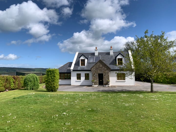 LissawanFairy fort / earthen ringfort · 344 yd
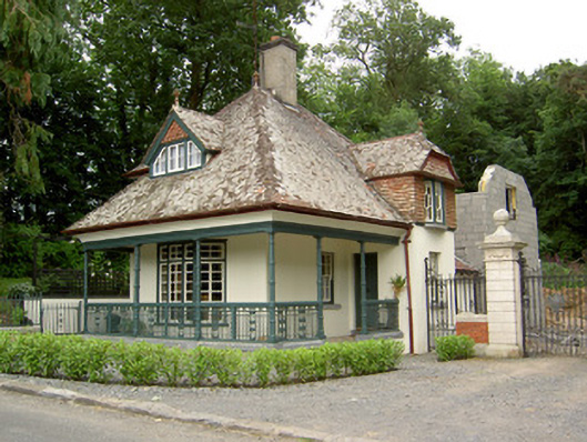 Ballybrada Housegate lodge · 486 yd
 Enclosure in BallybradaEnclosure · 809 yd
 Cottagehill WoodForest · 979 yd
 Swiss Cottagecottage ornee · 1213 yd
 Roosca CastleCastle · 1.4 mi
 Bawn in RochestownBawn · 1.5 mi
 Woodcock HillMountain / peak · 1.7 mi
 Cahir CastleHeritage attraction · 1.9 miSiege of Cahir Castlesiege · 2.0 mi
 Caher AbbeyHeritage attraction · 2.2 mi
Other information
Photo: Credit not shown in the picture search · Rights wording not checked; contact us if this picture should be removed