What is recorded here
Situated on a NW-SE esker ridge. It was first identified by the Tara Project of the Discovery Programme. The cropmark of a circular enclosure (diam. c. 15m) defined by a fosse feature is visible on the OSI series of aerial images (2005). (Newman 1997, 340)
Compiled by: Michael Moore
Date of upload: 4 September, 2017
The monument record does not grant public access. Check the route and ask the landowner before entering private land.
- What survives
- Recorded monument
Places near here
 Enclosure in Athronan (deece Lower By.)Enclosure · 1569 yd
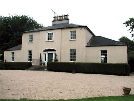 The Old Rectoryrectory/glebe/vicarage/curate's house · 1606 yd
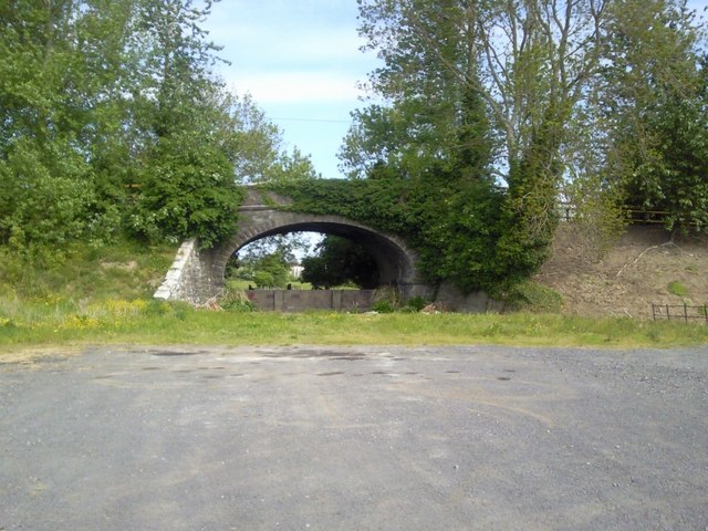 bridgebridge · 1609 yd
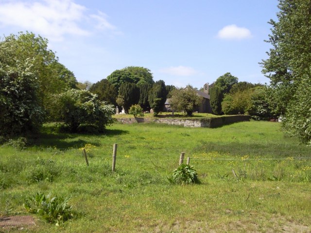 IndicatedGraveyard · 1723 yd
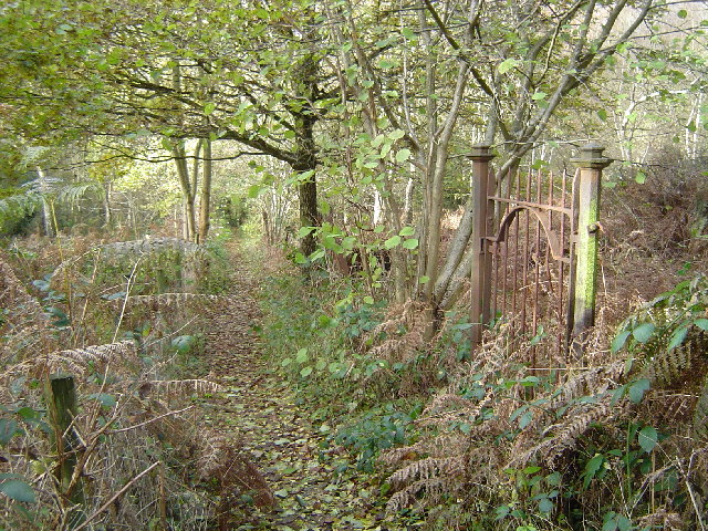 Moore's Hill WoodWood · 1.5 mi
 Beech & Oak WoodWood · 1.5 mi
 Galtrim MoatCastle, motte · 2.7 mi
 Trubley CastleCastle, tower house · 2.9 mi
 Battle of Tara (Ireland)Major battlefield · 3.2 mi
 Battle of Tara Hillbattle · 3.2 mi
 Saint Patrick'sMemorial · 3.4 mi
 Tara Open StudioGallery · 3.5 mi