What is recorded here
The graveyard in Kilbride North is in County Waterford, Ireland. It occupied a slight north-south valley beside the parish church. O'Donovan recorded the graveyard as cultivated around 1840, while Power recorded that neither the church nor the graveyard could be seen at ground level.
Situated in a slight S-N valley. The parish church of Kilbride (WA017-050001-) was described by O'Donovan c. 1840 (O'Flanagan 1929, 17) as having a graveyard that was then cultivated. Neither the church nor the graveyard are visible at ground level. (Power 1895b, 137-8)
O'Flanagan, M. (Compiler) (1929) Letters containing information relative to the antiquities of the county of Waterford collected during the progress of the Ordnance Survey in 1841. Typescript. Bray.
Power, Rev. P. (1895b) The ancient ruined churches of Waterford. WAJ. 1, 133-41, 152-72; 247-53.
Compiled by: Michael Moore
Date of upload/revision: 06 January 2011
The monument record does not grant public access. Check the route and ask the landowner before entering private land.
- What survives
- Recorded monument
Places near here
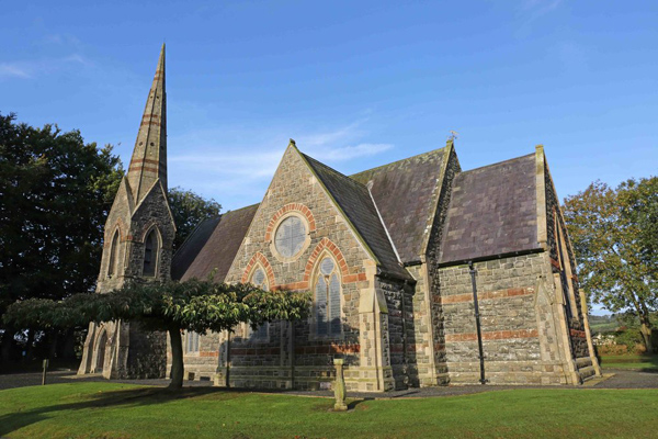 St, Brigets Church (in ruins)Church · 1 yd
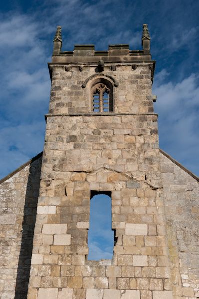 Settlement desertedSettlement deserted, medieval · 27 yd
 Enclosure in Kilbride NorthEnclosure · 54 yd
 IndicatedRoad, road/trackway · 71 yd
 Cullen Castle (in ruins)Castle, tower house · 755 yd
 Sugar Loaf RockMountain / peak · 1.5 mi
 Tramore Tourist OfficeVisitor information · 2.0 mi
 Tourist InformationVisitor information · 2.2 mi
 Doneraile WalkWalking route · 2.3 mi
 Mote or TumulusCastle, motte · 2.5 mi
 Tramore Dunes WalkWalking route · 2.5 mi
 Ballyscanlon HillMountain / peak · 2.8 mi