What is recorded here
Lislea is a circular rath on the NE-facing slope of a hill in County Galway, where two banks and a hidden fosse still trace a forty-metre circle through low-lying pastureland. The inner bank runs from north through south to west-northwest, while the outer bank appears only from southeast to south, as if the fort kept its shape but refused to be fully seen. A person walking that slope at dawn would find shadow catching the ditch and grass pressing against the earthen wall, making the old boundary feel alive rather than dead.
On the NE-facing slope of a hill in low-lying pastureland. This circular rath (diam. c. 40m), in fair condition, is defined by two banks and an intervening fosse. The inner bank is extant from N through S to WNW; elsewhere a scarp forms the enclosing element. The fosse is visible from SE through S to WSW while the outer bank only survives from SE to S.
Compiled by: Galway Archaeological Survey, UCG
Date of upload: 5 January 2018
The monument record does not grant public access. Check the route and ask the landowner before entering private land.
- What survives
- Recorded monument
Places near here
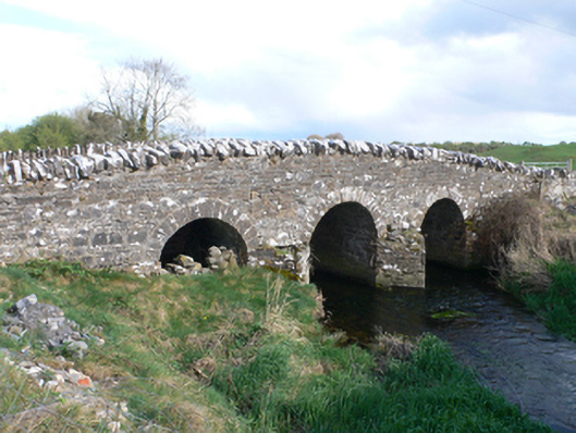 Castletown Bridgebridge · 936 yd
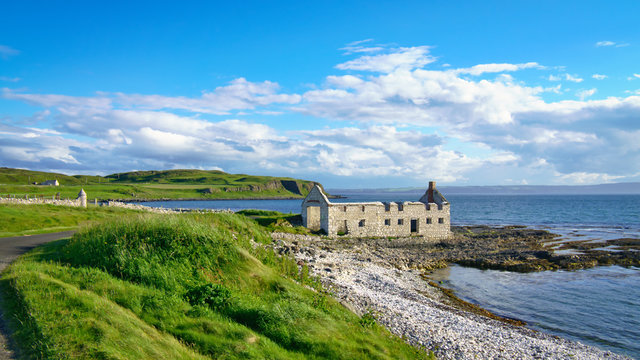 Ballyfintan FortFairy fort / earthen ringfort · 938 yd
 Field system in Castletown (longford By.)Field system · 1044 yd
 CastleCastle, unclassified · 1087 yd
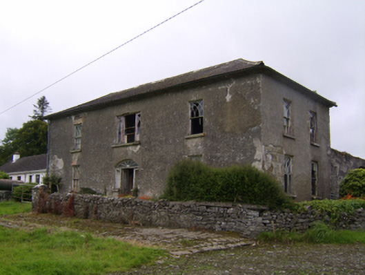 Streamstown Househouse · 1.2 mi
 Knockaunnageeragh Castle in ruinsCastle, unclassified · 1.4 mi
 Quarryhill WoodWood · 3.4 mi
 Bog WoodForest · 3.9 mi
 Dartfield Horse MuseumHeritage attraction · 4.3 mi
 Battle of AughrimMajor battlefield · 8.5 mi
 The bloody HollowHeritage attraction · 8.6 mi
 Battle of Aughrim Interpretative CentreMuseum · 8.9 mi