
What is recorded here
On a S-facing slope in undulating pastureland. Poorly preserved circular rath (diam. 34m) defined by an earthen bank from NE through S to NW; elsewhere a scarp forms the enclosing element. A field boundary cuts the monument at NE and NW; a wide gap (Wth 6.2m) is evident at SSE.
Compiled by: Galway Archaeological Survey, UCG
Date of upload: 14 October 2016
A local fairy fort (ringfort/rath); wider significance not recorded.
The monument record does not grant public access. Check the route and ask the landowner before entering private land.
- What survives
- Recorded monument
Places near here
 ‘Dogs Fort’Fairy fort / earthen ringfort · 924 yd
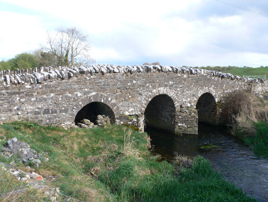 Castletown Bridgebridge · 1410 yd
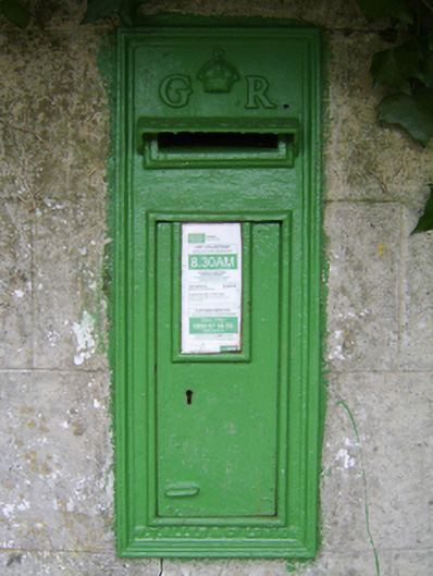 post boxpost box · 1635 yd
 Field system in Castletown (longford By.)Field system · 1668 yd
 CastleCastle, unclassified · 1701 yd
 Streamstown Castle (in ruins)Castle, unclassified · 1.5 mi
 Dartfield Horse MuseumHeritage attraction · 3.8 mi
 Quarryhill WoodWood · 3.8 mi
 Bog WoodForest · 4.4 mi
 Battle of AughrimMajor battlefield · 8.4 mi
 The bloody HollowHeritage attraction · 8.5 mi
 Battle of Aughrim Interpretative CentreMuseum · 8.8 mi
Other information
Photo: Credit not shown in the picture search · Rights wording not checked; contact us if this picture should be removed