What is recorded here
In low-lying marshy terrain in pasture. The Clodiagh River flows roughly NE-SW 15m to the SSE. Another standing stone (WA006-068----) is visible 100m to the WSW. A triangular-shaped sandstone conglomerate (H 1.07m) with pebble inclusions, including quartz. The stone is sub-rectangular in plan (SE side L 1.4m; NW side L 0.7m; NE Wth 0.5m; SW Wth 0.6m) with its long axis running NE-SW.
Compiled by: Jean Farrelly
Date of upload: 30 April 2013
The monument record does not grant public access. Check the route and ask the landowner before entering private land.
- What survives
- Recorded monument
Places near here
 (Site of) Kilbrack ChurchChurch · 802 yd
 Grave YardGraveyard · 820 yd
 Water millWater mill, horizontal-wheeled · 1252 yd
 Knocknacreha Housefarm house · 1.1 mi
 Curraheen TrailsVisitor information · 1.4 mi
 Bawn in RathgormuckBawn · 1.4 mi
 The Boolas LoopWalking route · 1.7 mi
 The Boolas Linear TrailWalking route · 2.3 mi
 MoteCastle, motte and bailey · 2.3 mi
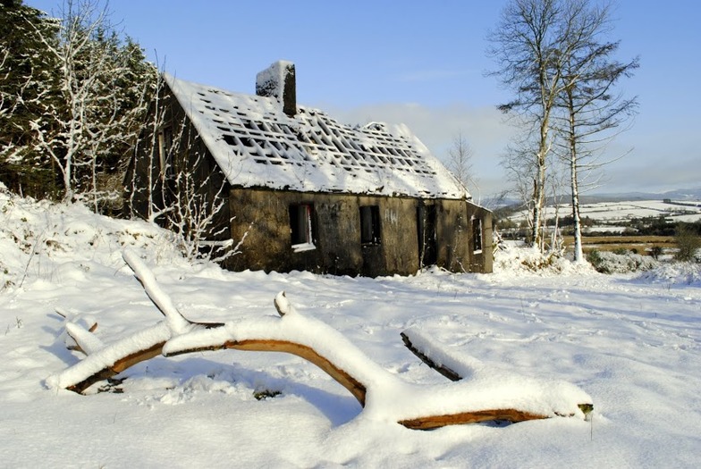 Knockanaffrin South TopMountain / peak · 2.5 mi
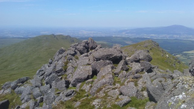 KnockanaffrinMountain / peak · 2.5 mi
 Glen Poer WoodForest · 2.8 mi