
What is recorded here
Situated on a steep S-facing slope and on a NW-SE stream close to the point where it enters the W-E Clodiagh river. Oak timbers that were formerly exposed in the W bank of the stream at a depth of c. 2.5m are no longer visible. A single oak plank was recovered (L 1.5m; dims. 0.3m x 0.1m) and is now stored at a nearby farmhouse.
The above description is derived from the published 'Archaeological Inventory of County Waterford' (Dublin: Stationery Office, 1999). In certain instances the entries have been revised and updated in the light of recent research.
Date of upload/revision: 23 December 2008
The monument record does not grant public access. Check the route and ask the landowner before entering private land.
- What survives
- Recorded monument
Places near here
 Knocknacreha Housefarm house · 944 yd
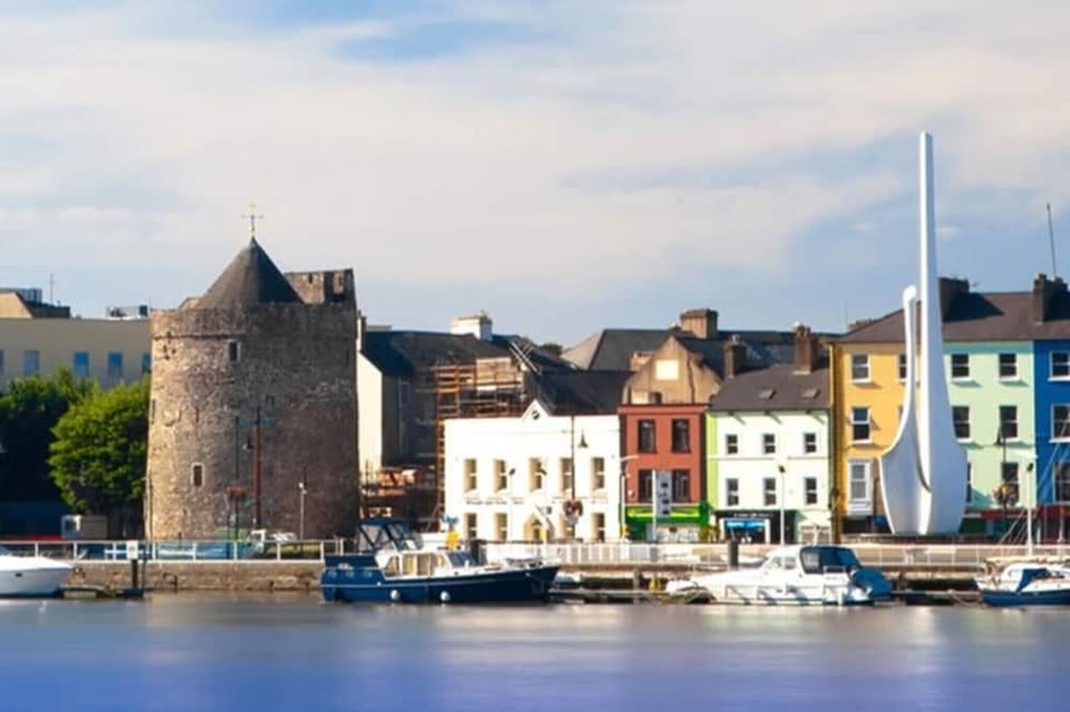 IndicatedEnclosure · 949 yd
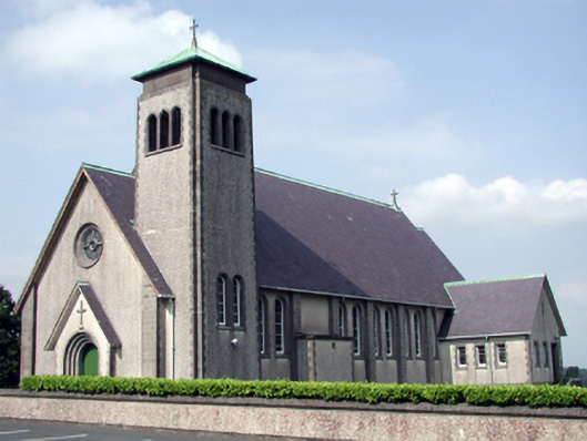 Catholic Church of the Sacred Heart of Jesuschurch/chapel · 958 yd
 Burnt mound in KilbrackBurnt mound · 1049 yd
 Bawn in RathgormuckBawn · 1533 yd
 MoteCastle, motte and bailey · 1.7 mi
 Curraheen TrailsVisitor information · 2.0 mi
 The Boolas LoopWalking route · 2.3 mi
 The Boolas Linear TrailWalking route · 2.7 mi
 Glen Poer WoodForest · 3.1 mi
 Churchtown WoodForest · 3.1 mi
 LackaduffMountain / peak · 3.1 mi
Other information
Photo: Credit not shown in the picture search · Rights wording not checked; contact us if this picture should be removed