
What is recorded here
Located at the top of an E-facing slope adjacent to a pond. A spread of burnt and broken stone (diam. 32m) with two concentrated areas of burnt material, possibly representing two fulachta fiadh, is visible when ploughed.
The above description is derived from the published 'Archaeological Inventory of County Waterford' (Dublin: Stationery Office, 1999). In certain instances the entries have been revised and updated in the light of recent research.
Date of upload/revision: 23 December 2008
Burnt mound in Kilbrack is a fulachta fiadh, dating to the Bronze Age. These sites were used for cooking or industrial purposes and are significant for understanding early Irish settlement and land use.
The monument record does not grant public access. Check the route and ask the landowner before entering private land.
- What survives
- Recorded monument
Places near here
 Grave YardGraveyard · 207 yd
 (Site of) Kilbrack ChurchChurch · 211 yd
 Water millWater mill, horizontal-wheeled · 1049 yd
 Knocknacreha Housefarm house · 1295 yd
 Bawn in RathgormuckBawn · 1.0 mi
 Curraheen TrailsVisitor information · 1.8 mi
 The Boolas LoopWalking route · 2.2 mi
 MoteCastle, motte and bailey · 2.3 mi
 Glen Poer WoodForest · 2.5 mi
 CarrigcoumMountain / peak · 2.8 mi
 The Boolas Linear TrailWalking route · 2.8 mi
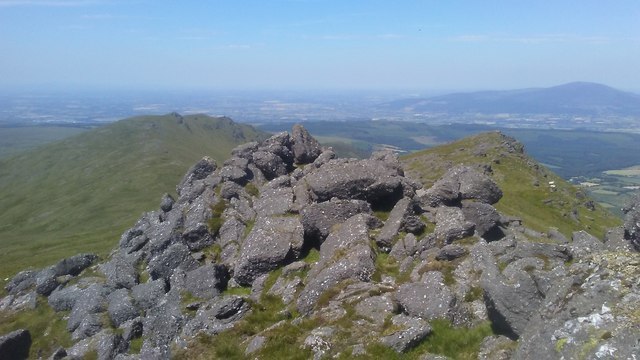 KnockanaffrinMountain / peak · 2.8 mi
Other information
Photo: Credit not shown in the picture search · Rights wording not checked; contact us if this picture should be removed