What is recorded here
Situated just off the crest of the E-facing slope of a wide N-S col with summits c. 400m to the SW and c. 700m to the NNW. This is an early ecclesiastical site consisting largely of an ecclesiastical enclosure (WA002-048003-). There is no evidence of a church structure (WA002-048001-) or of a graveyard (WA002-048002-), but three bullaun stones of Old Red Sandstone conglomerate are at the site, and a fourth may be missing.
A bullaun stone is marked on the 1928 ed. of the OS 6-inch map on a field bank running N from the perimeter of the ecclesiastical enclosure (WA002-048003-) at E, which is now removed, and there is local knowledge that a bullaun stone was buried on the site when the land was reclaimed.
Compiled by: Michael Moore. Date of upload: 27th August, 2010.
The monument record does not grant public access. Check the route and ask the landowner before entering private land.
- What survives
- Recorded monument
Places near here
 Grave YardGraveyard · 58 yd
 (Site of) Kilbrack ChurchChurch · 63 yd
 Water millWater mill, horizontal-wheeled · 1176 yd
 Knocknacreha Housefarm house · 1441 yd
 Bawn in RathgormuckBawn · 1.1 mi
 Curraheen TrailsVisitor information · 1.8 mi
 The Boolas LoopWalking route · 2.2 mi
 MoteCastle, motte and bailey · 2.3 mi
 Glen Poer WoodForest · 2.5 mi
 CarrigcoumMountain / peak · 2.8 mi
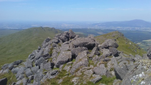 KnockanaffrinMountain / peak · 2.8 mi
 The Boolas Linear TrailWalking route · 2.8 mi