What is recorded here
Situated just off the crest of the E-facing slope of a wide N-S col with summits c. 400m to the SW and c. 700m to the NNW. This is an early ecclesiastical site consisting largely of an ecclesiastical enclosure (WA002-048003-). There is no evidence of a church structure (WA002-048001-) or of a graveyard (WA002-048002-), but three bullaun stones of Old Red Sandstone conglomerate are at the site, and a fourth may be missing.
A large triangular stone (WA002-048005-) (dims. 1.4m x 0.2-1.15m; T 0.4-0.7m) with two basins (diam. 22-24cm; D 6cm: diam. 20-33cm; D 16cm) is at the E end of the surviving bank of ecclesiastical enclosure (WA002-048003-). This is one of the two marked on the 1928 ed. of the OS 6-inch map, but it is probably not in its original position.
Compiled by: Michael Moore. Date of upload: 27th August, 2010.
Likely dating to the early medieval period, this site is associated with an ecclesiastical enclosure, suggesting a religious or monastic function. Local tradition may link it to Saint Brigid or early Christian worship, though specific folklore is not recorded.
The monument record does not grant public access. Check the route and ask the landowner before entering private land.
- What survives
- Recorded monument
Places near here
 Grave YardGraveyard · 69 yd
 (Site of) Kilbrack ChurchChurch · 71 yd
 Water millWater mill, horizontal-wheeled · 1162 yd
 Knocknacreha Housefarm house · 1434 yd
 Bawn in RathgormuckBawn · 1.1 mi
 Curraheen TrailsVisitor information · 1.8 mi
 The Boolas LoopWalking route · 2.2 mi
 MoteCastle, motte and bailey · 2.3 mi
 Glen Poer WoodForest · 2.5 mi
 CarrigcoumMountain / peak · 2.8 mi
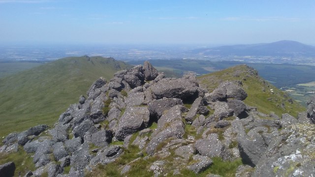 KnockanaffrinMountain / peak · 2.8 mi
 The Boolas Linear TrailWalking route · 2.8 mi