What is recorded here
The burgage plot pattern of the seventeenth century town survives very well to the N and S of Main St. These plots have had houses on them since the seventeenth century but there is no visible evidence that any of the present buildings are older than 1700. (Bradley et. al. 1985, 102-3).
Compiled by: R. Barrett
Date of upload: 01 December 2009
The monument record does not grant public access. Check the route and ask the landowner before entering private land.
- What survives
- Recorded monument
Places near here
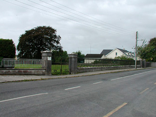 Saint James's Catholic Churchgates/railings/walls · 106 yd
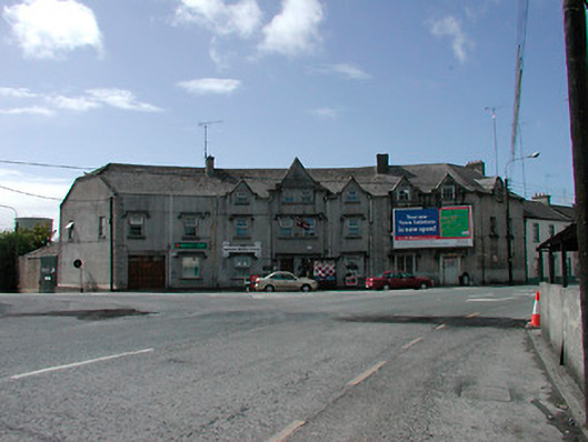 hotelhotel · 266 yd
 Ecclesiastical enclosure in KilbegganEcclesiastical enclosure · 717 yd
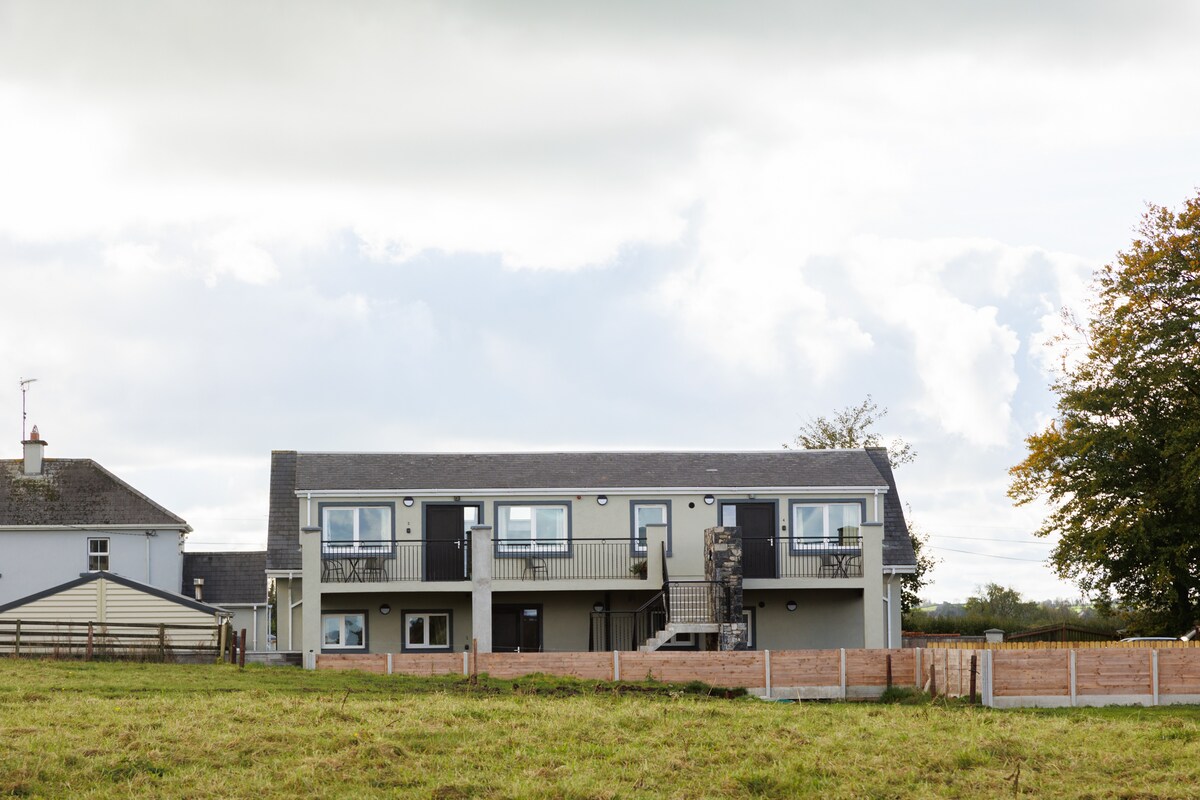 OutlinedFairy fort / earthen ringfort · 1247 yd
 Bonfire HillMountain / peak · 1.7 mi
 Durrow HillMountain / peak · 1.8 mi
 CastleCastle, unclassified · 2.1 mi
 Shancourt or MeeneglishCastle, unclassified · 2.1 mi
 Ardan WoodWood · 2.4 mi
 High WoodWood · 2.6 mi
 St. Columba's WellSpring · 2.8 mi
 Grand Canal WayWalking route · 6.0 mi