
What is recorded here
Kernanstown holds a twenty-metre square enclosure with rounded corners, visible only through cropmarks above a buried fosse. Its small size excludes a moated site, yet its shape echoes the nearby Down Survey castle, suggesting a deliberate boundary rather than a casual ditch. The land may have marked a household, a shrine or a military post, but the earth has swallowed the answer. What remains is a ghost line in the soil, waiting for someone to read its angle and intent.
The following description is derived from the published 'Archaeological Inventory of County Carlow' (Dublin: Stationery Office, 1993). In certain instances the entries have been revised and updated in the light of recent research.
Date of upload/revision: 17 July 2007
Aerial photographs (CUCAP BOC 85, 6) show cropmark of fosse enclosing approximately square area with rounded corners (max. dims. c. 20m x 20m). Too small to be moated site. Possibly related to Down Survey castle (CW007-008----).
The monument record does not grant public access. Check the route and ask the landowner before entering private land.
- What survives
- Recorded monument
Places near here
 Enclosure in KernanstownEnclosure · 154 yd
 Enclosure in ChapelstownEnclosure · 355 yd
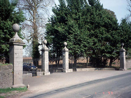 Pollerton Housedemesne walls/gates/railings · 651 yd
 Browne's Hill Housegate lodge · 706 yd
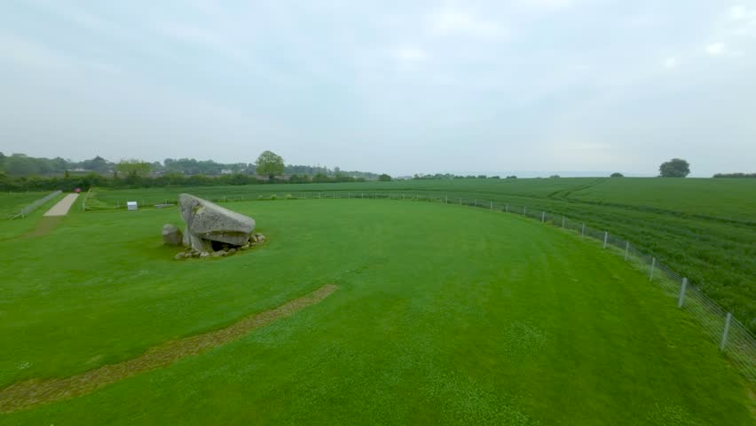
 Brownshill Portal TombVisitor information · 865 yd
 White willowWhite willow · 1699 yd
 Site of CastleCastle, unclassified · 1.4 mi
 Graigue Castle in ruinsCastle, unclassified · 1.5 mi
 VISUAL Centre for Contemporary ArtGallery · 1.6 mi
 Oak Park Forest ParkWood · 2.0 mi
 Church (in ruins), GraveyardChurch · 2.4 mi
 Killeshin ChurchVisitor information · 4.8 mi
Other information
Photo: Credit not shown in the picture search · Rights wording not checked; contact us if this picture should be removed