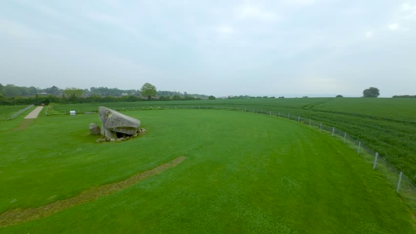
What is recorded here
Kernanstown in County Carlow holds a hidden circular enclosure, perhaps a ringfort, with a fifty-metre diameter visible only through cropmarks in aerial photographs. The land may have supported a defensible settlement or ceremonial gathering place before human memory faded. What remains is a ghost shape in the soil, waiting for someone to walk its unseen boundary and imagine the lives lost inside.
The following description is derived from the published 'Archaeological Inventory of County Carlow' (Dublin: Stationery Office, 1993). In certain instances the entries have been revised and updated in the light of recent research.
Date of upload/revision: 17 July 2007
Aerial photographs (CUCAP BOC 85, 86) show circular area defined by cropmark of fosse (est max. diam. c. 50m). Possibly a ringfort.
The monument record does not grant public access. Check the route and ask the landowner before entering private land.
- What survives
- Recorded monument
Places near here
 Enclosure in ChapelstownEnclosure · 464 yd
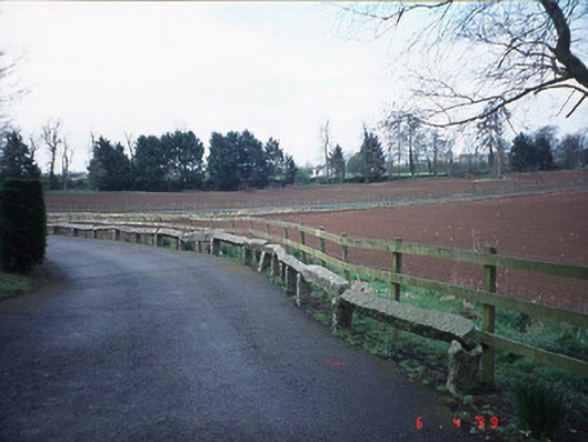 Pollerton Housebuilding misc · 497 yd
 Portal tomb in KernanstownPortal tomb · 570 yd
 Browne's Hill Housegate lodge · 811 yd
 Brownshill Portal TombVisitor information · 902 yd
 White willowWhite willow · 1594 yd
 Site of CastleCastle, unclassified · 1.4 mi
 Graigue Castle in ruinsCastle, unclassified · 1.6 mi
 VISUAL Centre for Contemporary ArtGallery · 1.6 mi
 Oak Park Forest ParkWood · 1.9 mi
 Church (in ruins), GraveyardChurch · 2.3 mi
 Killeshin ChurchVisitor information · 4.8 mi
Other information
Photo: Credit not shown in the picture search · Rights wording not checked; contact us if this picture should be removed