What is recorded here
Indicated is a fairy fort in County Longford, Ireland. It is a raised circular area about forty metres across, enclosed by a bank of earth and stone. The bank is three point four to three point seven metres wide and zero point two to one point two metres high. A narrow break appears at the north west, but the original entrance has vanished. The interior is densely overgrown, and no surrounding ditch remains visible. The site sits close to the base of a north west facing slope in wet, low lying pasture. It appeared as a fort on an eighteen thirty seven map, suggesting people still recognised the shape long after its first makers left it behind.
Close to the base of a NW-facing slope in wet, low-lying pasture. Depicted as a roughly circular enclosure with the designation 'Fort' on the 1837 ed. of the OS 6-inch map. A raised circular area (diam. c. 40m) enclosed by a partially denuded bank of earth and stone (Wth 3.4-3.7m; H 0.2-1.2m). There is no trace of a fosse. There is a break (Wth 1.2m) in the bank at NW but the original entrance is not recognisable. The interior is densely overgrown with vegetation. This may be a rath that was modified and reused in relatively modern times.
Compiled by: Patrick F. O'Donovan
Date of upload: 26 August 2011
This remains an important historical record, but the official description says the monument is no longer visible or has been destroyed. The monument record does not grant public access. Check the route and ask the landowner before entering private land.
- What survives
- No visible remains or recorded as destroyed
Places near here
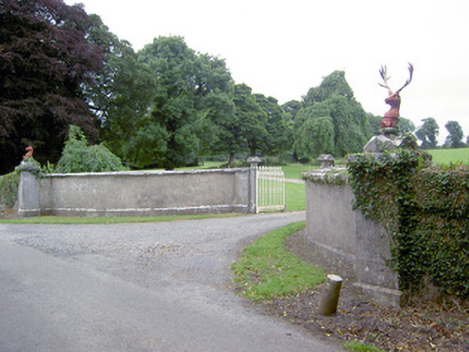 Castlereagates/railings/walls · 785 yd
 Bawn in CastlereaBawn · 999 yd
 Enclosure in AghinaspickEnclosure · 1048 yd
 National Famine WayWalking route · 1051 yd
 IndicatedEnclosure · 1553 yd
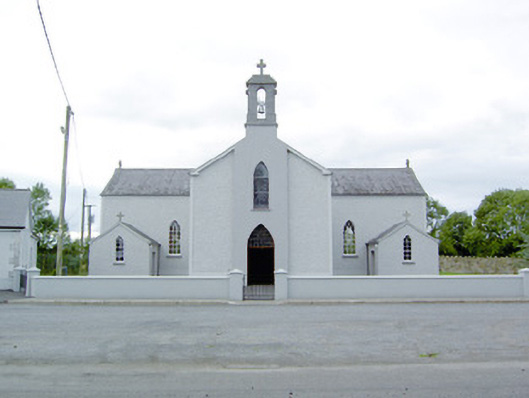 Saint Mary's Catholic Churchchurch/chapel · 1628 yd
 Bawn Castle & NunneryHouse, fortified house · 1.7 mi
 Graveyard in Curry (ardagh By., Coolamber Ed)Graveyard · 3.1 mi
 Corlea Bog Walk Canal BranchWalking route · 3.9 mi
 Corlea Trackway Interpretative CentreHeritage attraction · 4.0 mi
 White Sand WoodWood · 8.9 mi
 Commons North WalkVisitor information · 8.9 mi