What is recorded here
Situated on the floor of a N-S valley at the E side with a N-S stream c. 90m to the W. A D-shaped area of broken and burnt stone (dims. 9m N-S; 7m E-W) is visible when ploughed, but it extends under the N-S field bank immediately to the W. Burnt mound (WA016-106001-) is c. 55m to the NNE.
Compiled by: Michael Moore.
Date of upload/revision: 21st December 2010.
Burnt mound in Johnstown is a Neolithic ritual or industrial site, dating to the 4th–3rd millennium BCE. Its significance lies in providing evidence of early human activity, possibly related to heat-treated stone processes or ceremonial practices.
The monument record does not grant public access. Check the route and ask the landowner before entering private land.
- What survives
- Recorded monument
Places near here
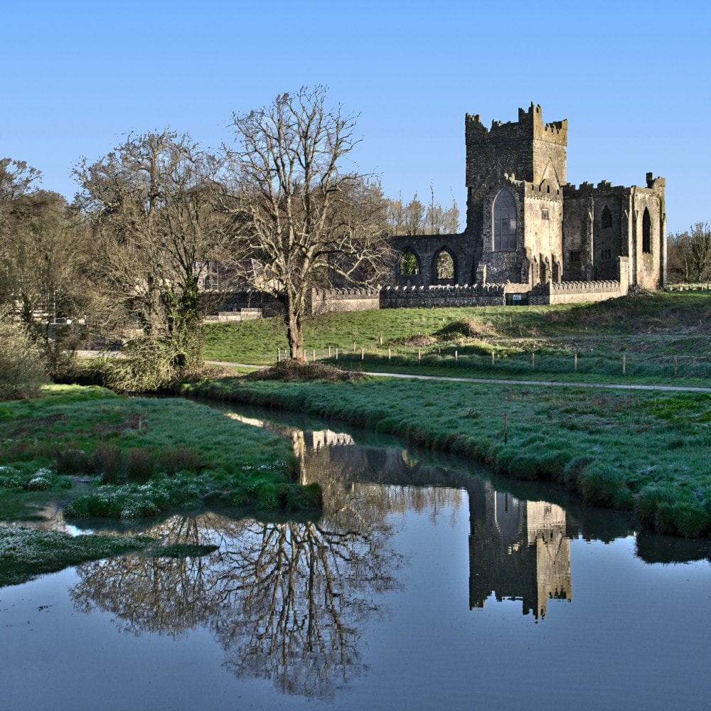 Burnt mound in JohnstownBurnt mound · 66 yd
 Burnt spread in JohnstownBurnt spread · 190 yd
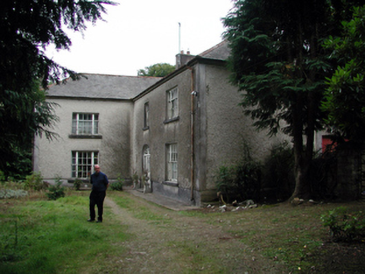 Knockaderry Househouse · 1406 yd
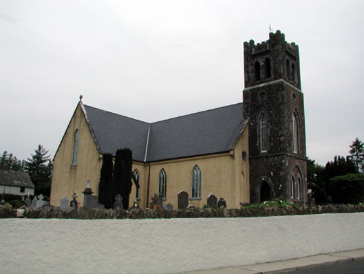 Saint Nicholas's Catholic ChurchOfficially recorded historic building · 1.1 mi
 Site of CastleCastle, unclassified · 1.7 mi
 Waterford & Suir Valley RailwayHeritage attraction · 2.4 mi
 Mote or TumulusCastle, motte · 2.6 mi
 Sweet micheliaSweet michelia · 2.8 mi
 Sargent's magnoliaSargent's magnolia · 2.8 mi
 Mount Congreve GardensHeritage attraction · 3.1 mi
 St. Martin's WellSpring · 3.5 mi
 Ballyscanlon HillMountain / peak · 4.1 mi