
What is recorded here
The fairy fort or earthen ringfort in Jamestown (rathconrath By., Jamestown Ed) is in County Westmeath, Ireland. This bivallate ringfort is a roughly circular enclosure defined by an inner bank, an intervening fosse, and an outer bank. The source describes the inner and outer banks as visible intermittently within the pasture and woodland setting. A house site sits within the centre of the interior, and the site was previously planted with trees that have since been felled.
Situated in pasture and woodland. Bivallate ringfort described in 1971 as a roughly circular-shaped area enclosed by an inner bank, an intervening fosse and an outer bank. The inner and outer banks are visible intermittently. A house site (WM025-126001-) is located within the centre of the interior. The site was previously planted with trees and these have now been felled. Monument visible as a subcircular-shaped univallate earthwork on oblique aerial photographs (CUCAP AOY083) taken 12/07/1966. Monument visible as a roughly circular-shaped, partially tree-planted earthwork on Digital Globe aerial photography.
Compiled by Alison McQueen, Vera Rahilly and Caimin O’Brien.
Date of upload: 24 September 2019
The monument record does not grant public access. Check the route and ask the landowner before entering private land.
- What survives
- Recorded monument
Places near here
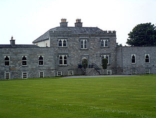 Jamestown Courtcountry house · 562 yd
 bridgebridge · 915 yd
 Enclosure in KilleenEnclosure · 1068 yd
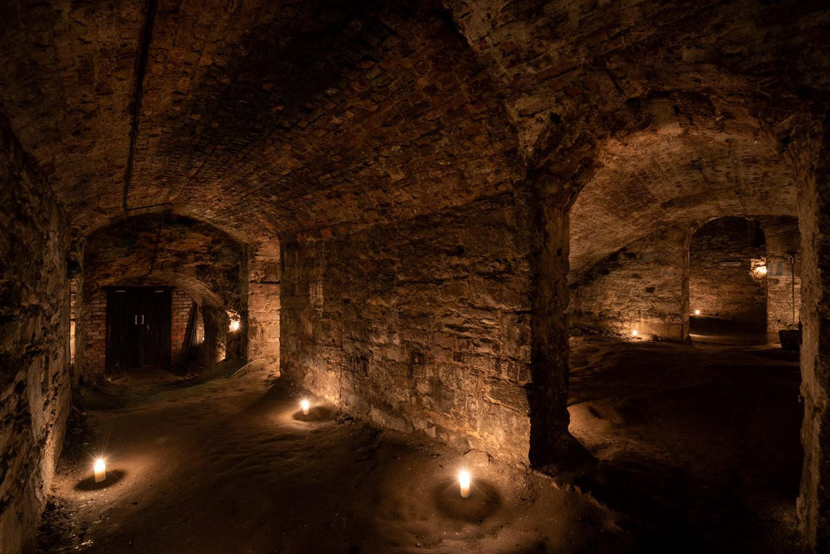 Man-made underground passage in Adamstown (moycashel By.)Man-made underground passage · 1113 yd
 Carn CastleCastle · 1505 yd
 Adamstown Castle (in Ruins)Castle, tower house · 1705 yd
 Sam's ParkForest · 2.6 mi
 Hill of UisneachMountain / peak · 2.8 mi
 European ashEuropean ash · 2.9 mi
 KnockastiaMountain / peak · 4.1 mi
 Charles BianconiMemorial · 8.7 mi
 The Bob Traynor GalleryGallery · 8.8 mi
Other information
Photo: Credit not shown in the picture search · Rights wording not checked; contact us if this picture should be removed