What is recorded here
Fairy fort / earthen ringfort in Jamestown (rathconrath By., Jamestown Ed) is a fairy fort or earthen ringfort in Jamestown (rathconrath By., Jamestown Ed), County Westmeath, Ireland. The site is described as a circular-shaped area, 21 metres from east to west, enclosed by a low earth and stone bank with an external fosse. A wide gap at the southwest may represent the entrance, while a portion of the bank at the south-southwest is recorded as original and undisturbed. This surviving section has an overall width of 2.3 metres, a top width of 0.4 metres, an internal height of 0.5 metres, and an external height of 0.8 metres.
Situated on a low rise, in undulating pasture, in Jamestown Demesne, with good views to SE. Monument described as a circular-shaped area (dims. 21m E-W) enclosed by a bank with external fosse, a wide gap at SW may represent the entrance. The low earth and stone bank has been modified and steepened from W-N-E-S and has several small disturbance gaps. A portion of bank at SSW (overall Wth 2.3m; Wth at top 0.4m; int. H 0.5m; ext. H 0.8m) is original and undisturbed. The shallow external fosse has been disturbed in places. The interior has a gentle SE-facing slope and has cultivation ridges running E-W. A field boundary running NW-SE abuts the monument to SW.
Compiled by Alison McQueen, Vera Rahilly and Caimin O’Brien.
Date of upload: 24 September 2019
The monument record does not grant public access. Check the route and ask the landowner before entering private land.
- What survives
- Recorded monument
Places near here
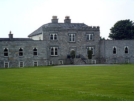 Jamestown Courtcountry house · 255 yd
 Enclosure in KilleenEnclosure · 453 yd
 Partially hachuredFairy fort / earthen ringfort · 509 yd
 bridgebridge · 776 yd
 Carn CastleCastle · 1086 yd
 Adamstown Castle (in Ruins)Castle, tower house · 1380 yd
 Hill of UisneachMountain / peak · 2.5 mi
 European ashEuropean ash · 2.8 mi
 Sam's ParkForest · 2.8 mi
 KnockastiaMountain / peak · 4.4 mi
 Moate HillMountain / peak · 9.0 mi
 Charles BianconiMemorial · 9.0 mi