What is recorded here
Fairy fort / earthen ringfort in Jamestown (rathconrath By., Jamestown Ed) is a fairy fort or earthen ringfort in Jamestown (rathconrath By., Jamestown Ed), County Westmeath, Ireland. A 1971 survey described the subcircular monument on a slight rise in undulating pasture as measuring 37.3 metres east-west and 34 metres north-south, enclosed by a bank and external fosse with an eastern entrance gap that was 5.2 metres wide at the top and 2 metres wide at the base. The bank is best preserved from west-northwest to northwest, where it is almost reduced to a steep scarp elsewhere, while the fosse is wide, deep, and flat-bottomed from west-northwest to north-northwest but almost completely infilled from north-northwest through north, east, and south to west-southwest and west-northwest.
Situated on a slight rise, in undulating pasture. Monument described in 1971 as a subcircular-shaped area (dims. 37.3m E-W; 34m N-S) enclosed by a bank and external fosse with entrance gap (Wth at top 5.2m; basal Wth 2m) at E. The bank is best preserved from WNW-NW and is almost reduced to a steep scarp elsewhere. The fosse is wide, deep and flat-bottomed from WNW-NNW and is almost completely infilled from NNW-N-E-S-W-WNW. The interior has a gentle NNE-facing slope with a house site (WM024-170001-) in the S quadrant and a house site (WM024-170002-) in the E quadrant.
Compiled by Alison McQueen, Vera Rahilly and Caimin O’Brien.
Date of upload: 03 September 2019
The monument record does not grant public access. Check the route and ask the landowner before entering private land.
- What survives
- Recorded monument
Places near here
 OutlinedFairy fort / earthen ringfort · 413 yd
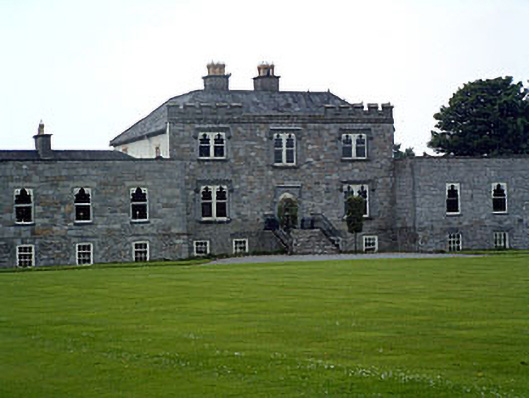 Jamestown Courtcountry house · 749 yd
 Partially outlinedEnclosure · 1273 yd
 bridgebridge · 1308 yd
 Carn CastleCastle · 1358 yd
 CastleCastle, unclassified · 1.1 mi
 Sam's ParkForest · 2.4 mi
 Hill of UisneachMountain / peak · 2.7 mi
 European ashEuropean ash · 2.8 mi
 KnockastiaMountain / peak · 3.9 mi
 Charles BianconiMemorial · 8.5 mi
 The Bob Traynor GalleryGallery · 8.6 mi