
What is recorded here
Situated in pasture and woodland. Bivallate ringfort described in 1971 as a roughly circular-shaped area enclosed by an inner bank, an intervening fosse and an outer bank. The inner and outer banks are visible intermittently. A house site (WM025-126001-) is located within the centre of the interior. The site was previously planted with trees and these have now been felled. Monument visible as a subcircular-shaped univallate earthwork on oblique aerial photographs (CUCAP AOY083) taken 12/07/1966. Monument visible as a roughly circular-shaped, partially tree-planted earthwork on Digital Globe aerial photography.
Compiled by Alison McQueen, Vera Rahilly and Caimin O’Brien.
Date of upload: 24 September 2019
The monument record does not grant public access. Check the route and ask the landowner before entering private land.
- What survives
- Recorded monument
Places near here
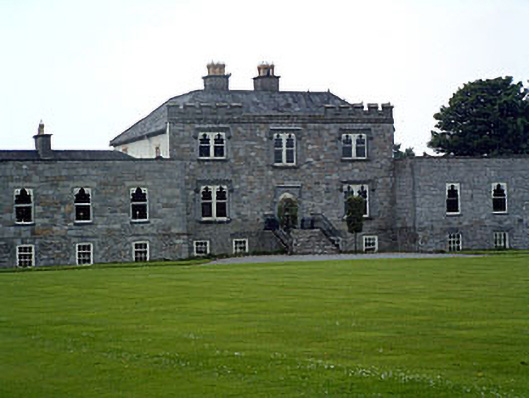 Jamestown Courtcountry house · 562 yd
 bridgebridge · 915 yd
 Enclosure in KilleenEnclosure · 1068 yd
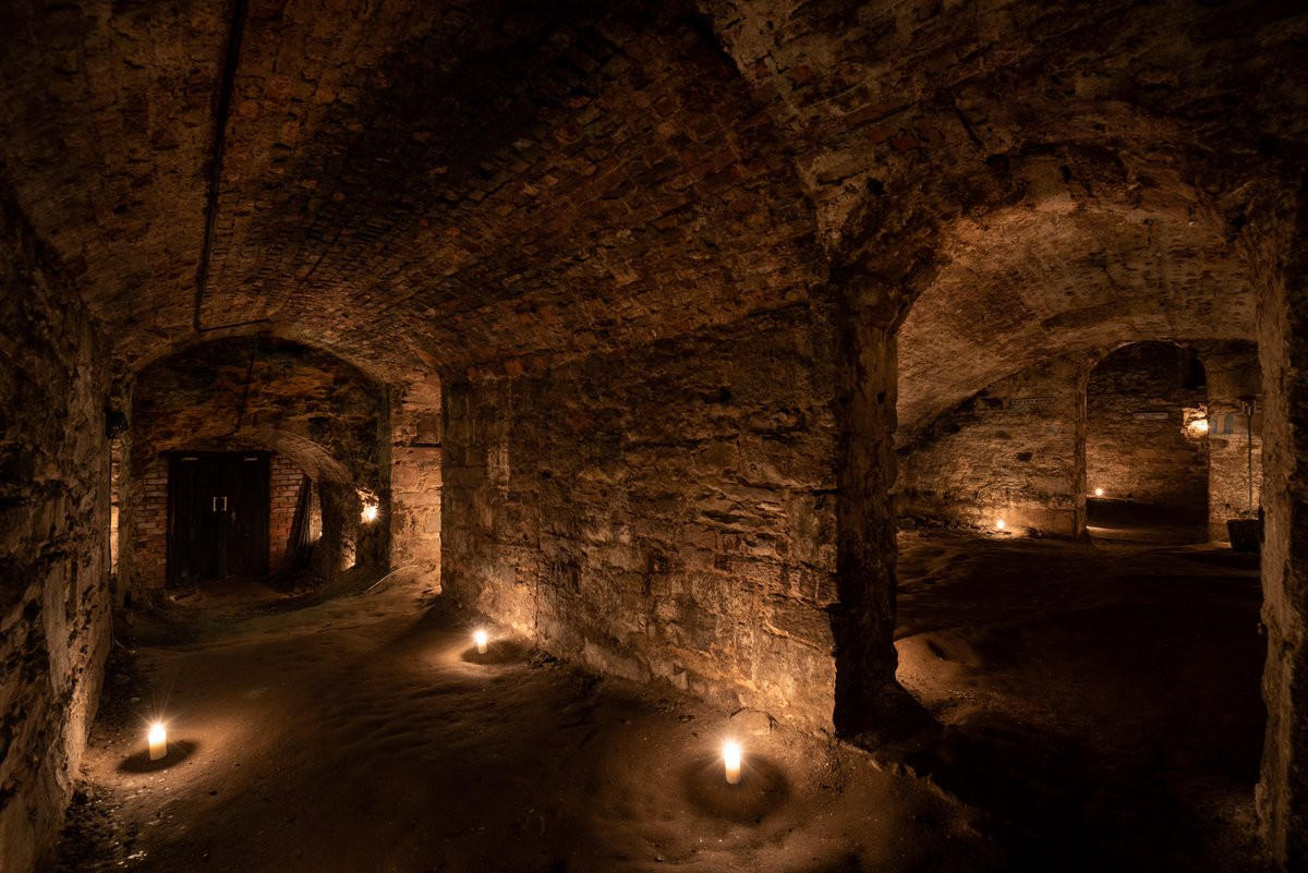 Man-made underground passage in Adamstown (moycashel By.)Man-made underground passage · 1113 yd
 Carn CastleCastle · 1505 yd
 Adamstown Castle (in Ruins)Castle, tower house · 1705 yd
 Sam's ParkForest · 2.6 mi
 Hill of UisneachMountain / peak · 2.8 mi
 European ashEuropean ash · 2.9 mi
 KnockastiaMountain / peak · 4.1 mi
 Charles BianconiMemorial · 8.7 mi
 The Bob Traynor GalleryGallery · 8.8 mi
Other information
Photo: Credit not shown in the picture search · Rights wording not checked; contact us if this picture should be removed